Lower Prospect Canal Reserve, Sydney
Map

Gallery

Facts and practical information
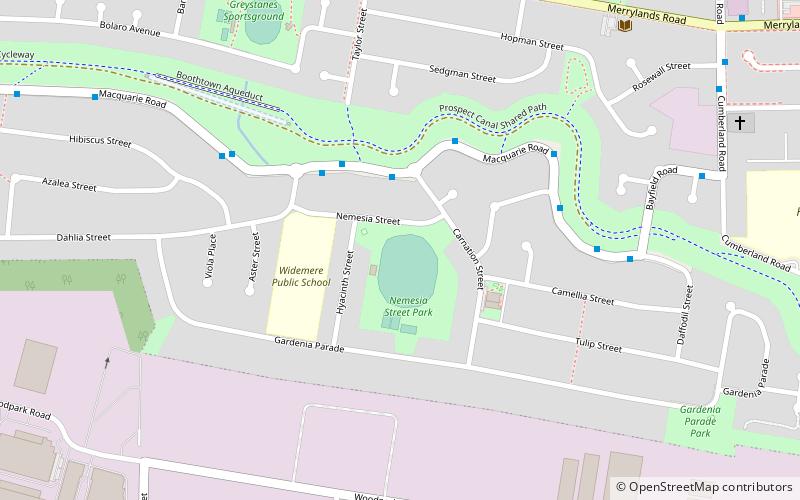
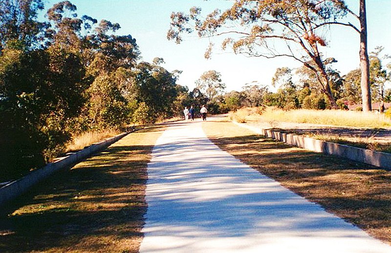
The Lower Prospect Canal Reserve is a heritage-listed former farm and public water supply canal and now bushy corridor and nature reserve stretching 7.7 kilometres through the heart of suburban Sydney, New South Wales, Australia. The lineal corridor stretches from Prospect Reservoir to Sydney Water Pipehead at Albert Street, Guildford with the majority of the reserve located in Greystanes, which is a suburb within the Cumberland Council area. ()
Opened: 1888 (138 years ago)Elevation: 157 ft a.s.l.Coordinates: 33°50'1"S, 150°56'31"E
Day trips
Lower Prospect Canal Reserve – popular in the area (distance from the attraction)
Nearby attractions include: Raging Waters Sydney, Old Government House, Westfield Parramatta, Prospect Reservoir.
Frequently Asked Questions (FAQ)
How to get to Lower Prospect Canal Reserve by public transport?
The nearest stations to Lower Prospect Canal Reserve:
Bus
Bus
- Cooper T-Way • Lines: T80 (14 min walk)
- Smithfield T-Way • Lines: T80 (20 min walk)

 Sydney Trains
 Sydney Light Rail
 Sydney Ferries


