Cordeaux Dam
Map

Map

Facts and practical information
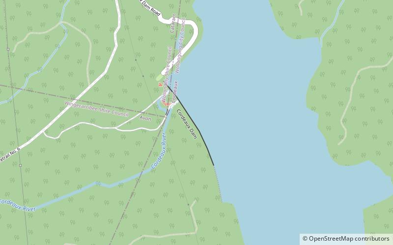
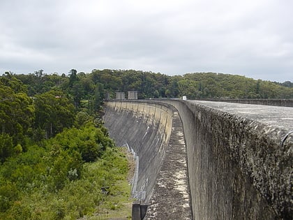
The Cordeaux Dam is a heritage-listed dam in Cordeaux, New South Wales, Australia. It provides water to the Macarthur and Illawarra regions, the Wollondilly Shire, and metropolitan Sydney. It is one of four dams and weirs in the catchment of the Upper Nepean Scheme. Completed in 1926 under the supervision of Ernest Macartney de Burgh, the dam is owned by Water NSW, an agency of the Government of New South Wales. It was listed on the New South Wales State Heritage Register on 18 November 1999. ()
Alternative names: Opened: 1926 (100 years ago)Length: 2326 ftHeight: 191 ftReservoir area: 3.02 mi²Reservoir depth: 170 ftCoordinates: 34°20'15"S, 150°44'49"E
Location
New South Wales
ContactAdd
Social media
Add
Day trips
Cordeaux Dam – popular in the area (distance from the attraction)
Nearby attractions include: Cataract Dam.

