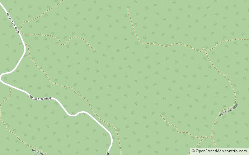
Mount Cole State Forest
Map

Map

Facts and practical information
The Mount Cole State Forest is in western Victoria, Australia, near the town of Beaufort. The forest is around Mount Cole, which formed 390 million years ago. The Indigenous Australians, the Beeripmo balug people, called it Bereep-bereep, which means wild. The forest covers an area of 12,150 hectares, including the forest around Mount Lonarch. ()
Coordinates: 37°16'8"S, 143°14'24"E
Location
Victoria
ContactAdd
Social media
Add
Day trips
Mount Cole State Forest – popular in the area (distance from the attraction)
Nearby attractions include: Mount Buangor State Park.

