Rocky Creek Dam
Map

Map

Facts and practical information
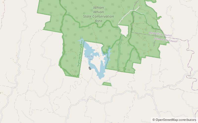
Rocky Creek Dam is a minor rock fill clay core embankment dam across the Rocky Creek, located upstream of Lismore in the Northern Rivers region of New South Wales, Australia. The dam's main purpose is to supply potable water for the region, including Lismore, Ballina, Byron Bay, Evans Head and Alstonville. The impounded reservoir is called Rocky Lake. ()
Opened: April 1953 (72 years ago)Length: 722 ftHeight: 92 ftReservoir area: 0.77 mi²Coordinates: 28°37'54"S, 153°21'4"E
Day trips
Rocky Creek Dam – popular in the area (distance from the attraction)
Nearby attractions include: Minyon Falls, Nightcap, Goonengerry National Park, Andrew Johnston Big Scrub Nature Reserve.


