Queen's Square, Sydney
Map
Gallery
Facts and practical information
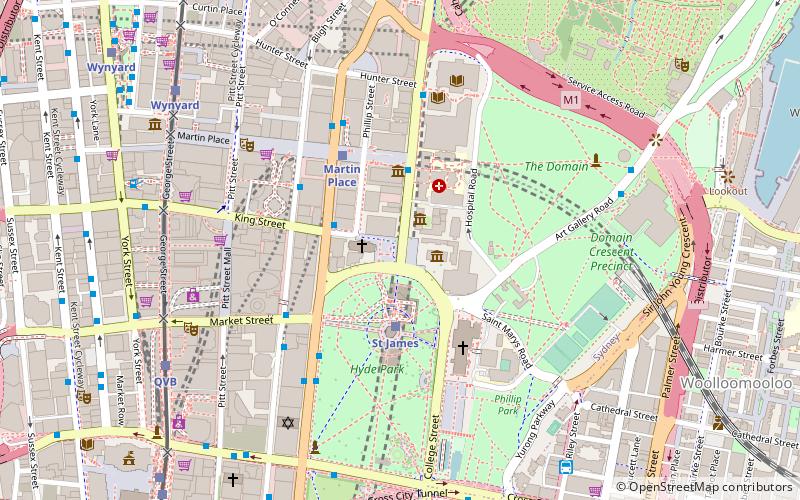
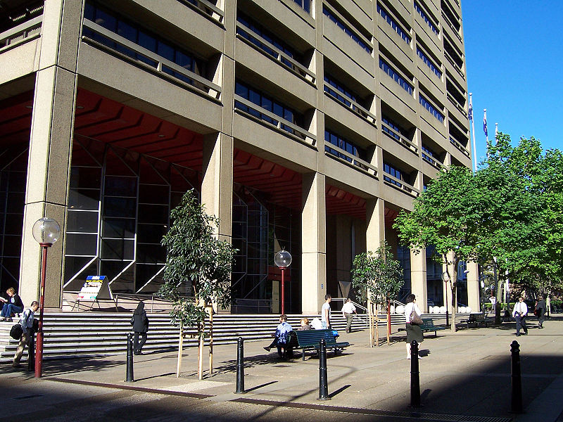
Queen's Square is a public square in central Sydney, Australia. The square is located at the junction of King Street with Phillip Street and Macquarie Street. It is bounded on the south by St James Road and Prince Albert Road. ()
Coordinates: 33°52'10"S, 151°12'43"E
Address
Central Business District (Martin Place)Sydney
ContactAdd
Social media
Add
Day trips
Queen's Square – popular in the area (distance from the attraction)
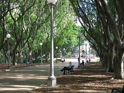
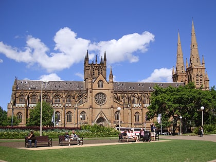
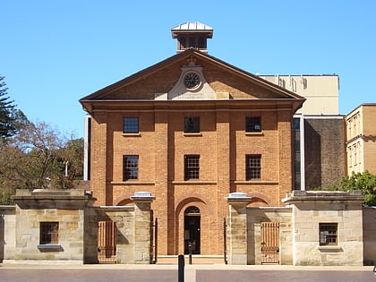
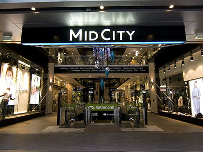
Nearby attractions include: Westfield Sydney, Hyde Park, St Mary's Cathedral, Hyde Park Barracks.
Frequently Asked Questions (FAQ)
Which popular attractions are close to Queen's Square?
Nearby attractions include Sydney Mint, Sydney (2 min walk), Hyde Park Barracks, Sydney (2 min walk), St James' Church, Sydney (2 min walk), Children's Chapel, Sydney (2 min walk).
How to get to Queen's Square by public transport?
The nearest stations to Queen's Square:
Bus
Train
Light rail
Ferry
Bus
- Stand E, Martin Place, Elizabeth Street • Lines: M52 (3 min walk)
- Stand G, Martin Place, Castlereagh St • Lines: 431 (4 min walk)
Train
- St James (3 min walk)
- Martin Place (4 min walk)
Light rail
- Qvb • Lines: L2, L3 (9 min walk)
- Wynyard • Lines: L2, L3 (9 min walk)
Ferry
- Circular Quay Wharf 2 • Lines: F2, F7 (16 min walk)
- Circular Quay Wharf 3 • Lines: F1 (16 min walk)

 Sydney Trains
 Sydney Light Rail
 Sydney Ferries
