Port Kembla harbour, Wollongong
Map
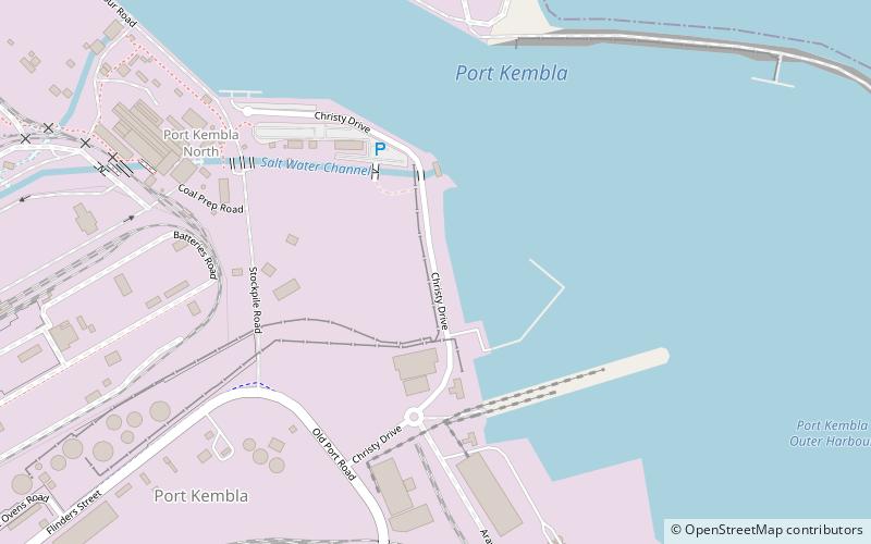
Map

Facts and practical information
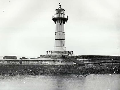
Port Kembla is a man-made cargo port or artificial harbour, with an outer harbour protected by breakwaters and an inner harbour constructed by dredging, located in the Illawarra region of New South Wales, Australia. ()
Average depth: 20 ftCoordinates: 34°28'0"S, 150°53'60"E
Address
Wollongong
ContactAdd
Social media
Add
Day trips
Port Kembla harbour – popular in the area (distance from the attraction)
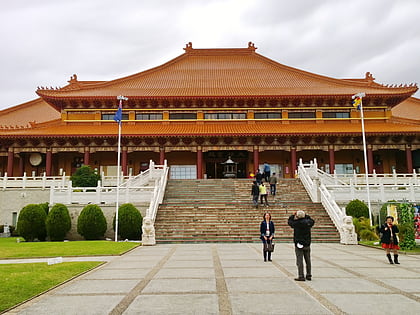
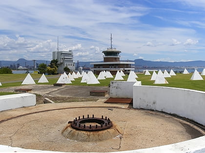
Nearby attractions include: Nan Tien Temple, Wollongong Entertainment Centre, Wollongong Central, Breakwater Battery.
Frequently Asked Questions (FAQ)
How to get to Port Kembla harbour by public transport?
The nearest stations to Port Kembla harbour:
Train
Train
- Port Kembla (19 min walk)
- Port Kembla North (20 min walk)

