Olivewood Historic Homestead, Renmark
Map

Map

Facts and practical information
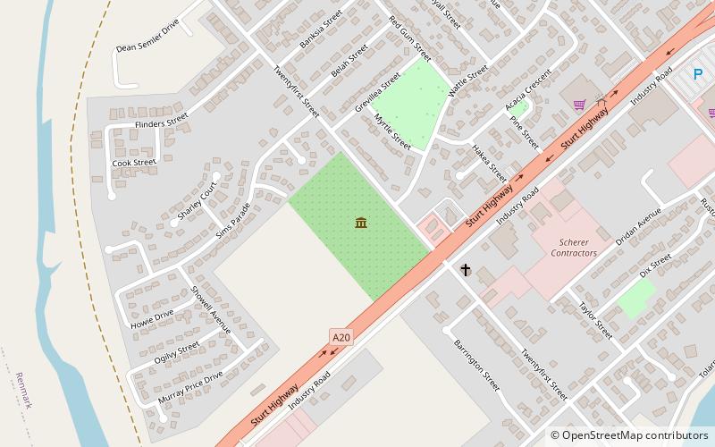
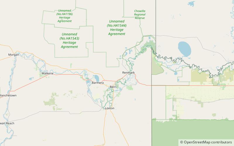
Olivewood Historic Homestead (address: Twentyfirst St) is a place located in Renmark (South Australia state) and belongs to the category of top attraction, museum.
It is situated at an altitude of 75 feet, and its geographical coordinates are 34°10'51"S latitude and 140°44'6"E longitude.
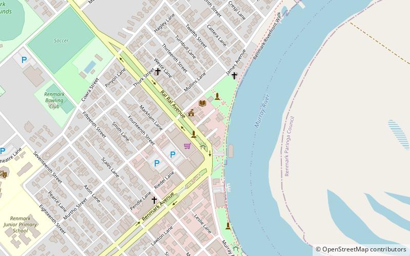
Among other places and attractions worth visiting in the area are: Renmark Post Office (neighbourhood, 29 min walk), Paringa Bridge, Paringa (bridge, 60 min walk), Cooltong Conservation Park, Riverland Biosphere Reserve (natural attraction, 142 min walk).
Coordinates: 34°10'51"S, 140°44'6"E
Day trips
Olivewood Historic Homestead – popular in the area (distance from the attraction)
Nearby attractions include: Paringa Bridge, Cooltong Conservation Park, Renmark Post Office.


