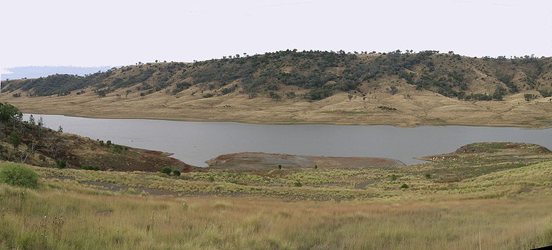
Split Rock Dam

Gallery (2)
Map
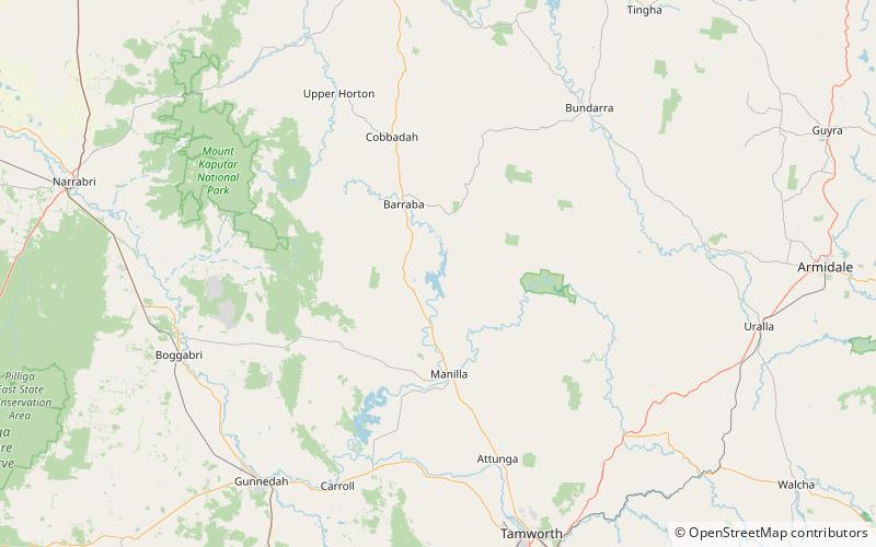
Map
Gallery
Facts and practical information
Split Rock Dam is a minor ungated concrete faced rock fill embankment dam with concrete chute spillway across the Manilla River upstream of Manilla in the north-western slopes region of New South Wales, Australia. The dam's purpose includes flood mitigation, irrigation, water supply and conservation. The impounded reservoir is called Split Rock Reservoir. ()
Opened: 1987 (39 years ago)Length: 1588 ftHeight: 217 ftReservoir area: 8.3 mi²Reservoir depth: 171 ftCoordinates: 30°31'47"S, 150°41'35"E