Wyanbene Caves, Deua National Park

Gallery (2)
Map
Map
Gallery
Facts and practical information
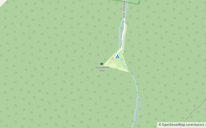
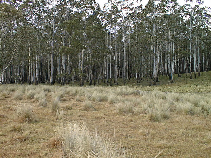
Wyanbene is a geographic area between Braidwood and Cooma in Southern NSW, Australia. It includes a significant cave system and is adjacent to Deua National Park. The cave is at 35°47'42.25"S 149°40'56.48"E, at about 850 m altitude. A sheep and cattle farming area, there is still much wildlife including wombats, greater gliders, wedge-tailed eagle, echidna, eastern grey kangaroo, wallabies, red-bellied black snakes, tiger snake, Cunningham's spiny-tailed skink, Platypus and native fish in the Wyanbene Creek and nearby Shoalhaven and Duea rivers. ()
Coordinates: 35°47'42"S, 149°40'55"E
Address
Wyanbene RoadDeua National Park
ContactAdd
Social media
Add