Richmond Road, Sydney

Gallery (1)
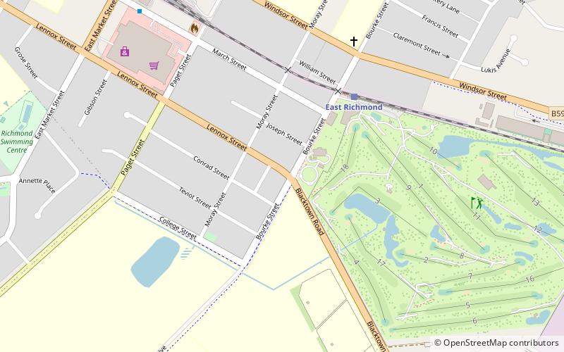
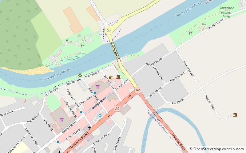
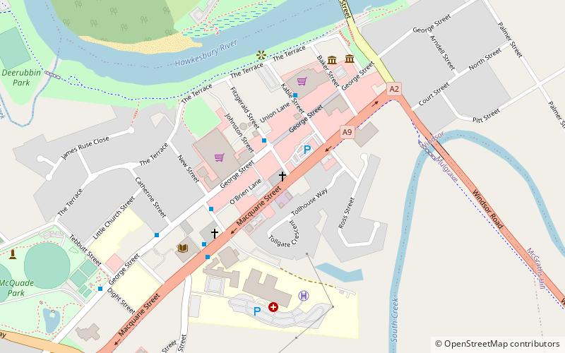
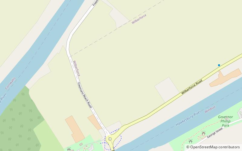
Map
Map
Facts and practical information
Richmond Road is an arterial road in Sydney, Australia. ()
Coordinates: 33°36'14"S, 150°45'25"E
Address
Sydney
ContactAdd
Social media
Add
Getting there by public transportation
Public transportation stops near this location
- Bus
- Train
 Bus
Bus
- Calculate routeEast Richmond 5 min walk
- Calculate routeRichmond 11 min walk
- Calculate routeRichmond Station, East Market St 12 min walk
- Calculate routeEast Market St opp Richmond Station 12 min walk
Maps Sydney TrainsMaps
 Sydney Light RailMaps
 Sydney Ferries
Sydney TrainsMapsSydney Light RailMapsSydney FerriesDay trips


Frequently Asked Questions (FAQ)
Which popular attractions are close to Richmond Road?
Nearby attractions include Richmond, Sydney (14 min walk), Richmond Park, Sydney (14 min walk).
How to get to Richmond Road by public transport?
The nearest stations to Richmond Road:
Train
Bus
Train
- East Richmond (5 min walk)
- Richmond (11 min walk)
Bus
- Richmond Station, East Market St • Lines: 668 (12 min walk)
- East Market St opp Richmond Station • Lines: 668 (12 min walk)