Lameroo Beach, Darwin
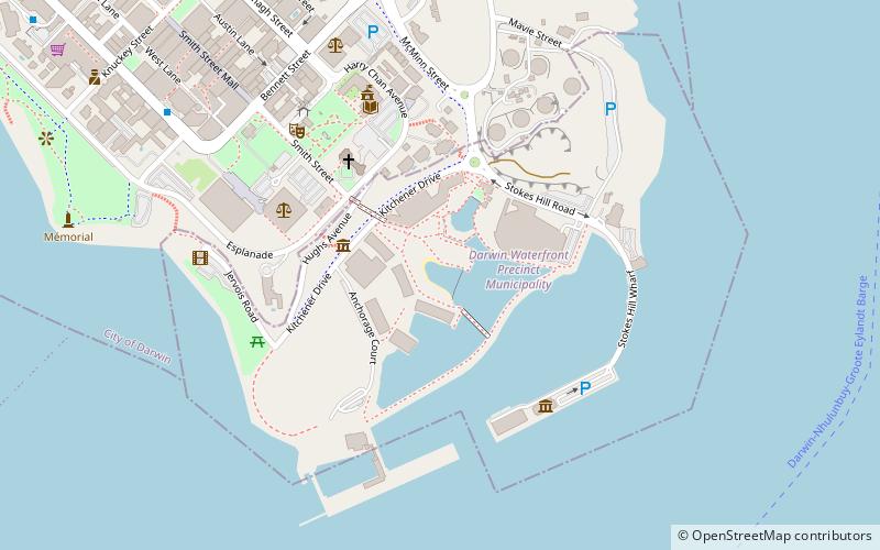
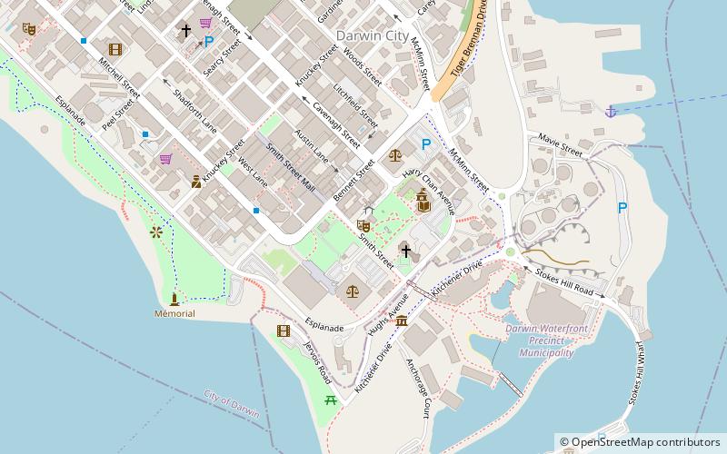
Map
Facts and practical information
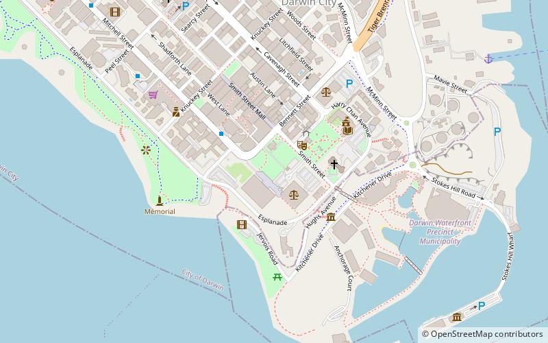
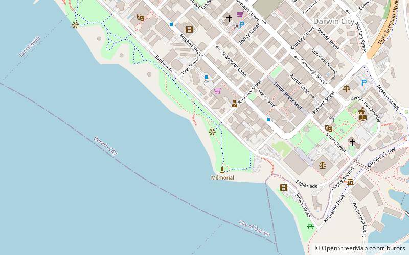
Lameroo Beach is a small beach located off the esplanade in central Darwin in the Northern Territory of Australia. It was the location of the town's historic baths between 1922 and 1974. The name for Lameroo Beach comes from a corrupted interpretation of the nearby Aboriginal site Damoe-Ra, which means "eye" or "spring" in Larrakia. ()
Coordinates: 12°27'55"S, 130°50'20"E
Address
Darwin
ContactAdd
Social media
Add
Day trips
Lameroo Beach – popular in the area (distance from the attraction)
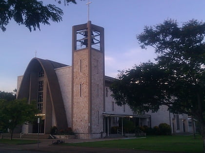
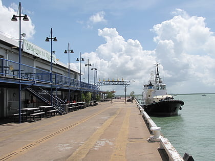
Nearby attractions include: Darwin Waterfront Precinct, St Mary's Star of the Sea Cathedral, Brown's Mart, Stokes Hill Wharf.
Frequently Asked Questions (FAQ)
Which popular attractions are close to Lameroo Beach?
Nearby attractions include Crocosaurus Cove, Darwin (6 min walk), Smith Street, Darwin (7 min walk), Library & Archives NT, Darwin (8 min walk), Northern Territory Legislative Assembly, Darwin (8 min walk).
How to get to Lameroo Beach by public transport?
The nearest stations to Lameroo Beach:
Bus
Bus
- Darwin Bus Interchange (10 min walk)
