Cape Byron, Byron Bay
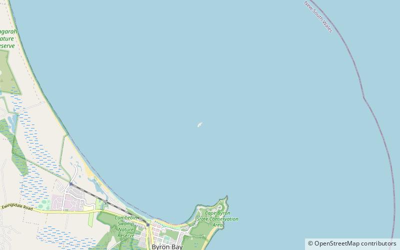
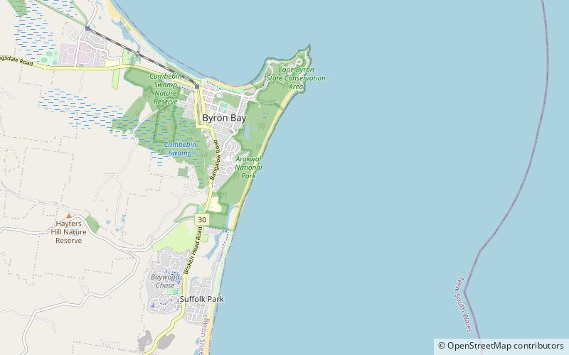
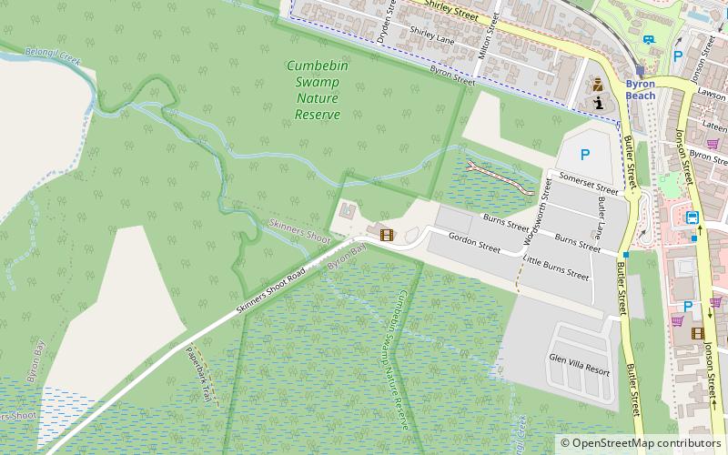
Map
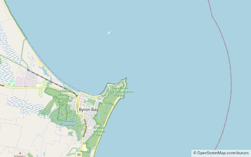
Map

Facts and practical information
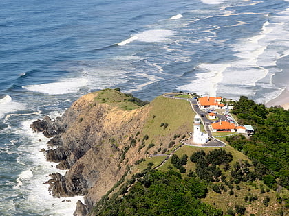
Cape Byron is the easternmost point of the mainland of Australia, located in New South Wales. It is about 3 km east of the town of Byron Bay, New South Wales and projects into the Pacific Ocean at 28.6335° S, 153.6383° E. A lighthouse is situated there. It is a popular area for hiking and for whale watching. Two national parks, one a conservation area and a marine park, are on the bay. ()
Address
Byron Bay
ContactAdd
Social media
Add
Day trips
Cape Byron – popular in the area (distance from the attraction)
Nearby attractions include: Cape Byron Lighthouse, Julian Rocks Nguthungulli Nature Reserve, Lets Go Surfing Byron Bay, Hayters Hill Nature Reserve.
Frequently Asked Questions (FAQ)
Which popular attractions are close to Cape Byron?
Nearby attractions include Cape Byron Lighthouse, Byron Bay (10 min walk), The Pass, Byron Bay (16 min walk).

