Tamworth Regional Gallery, Tamworth

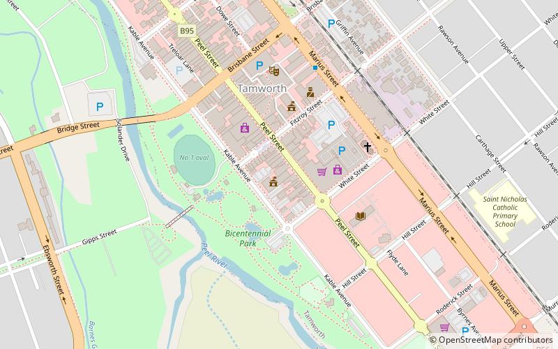
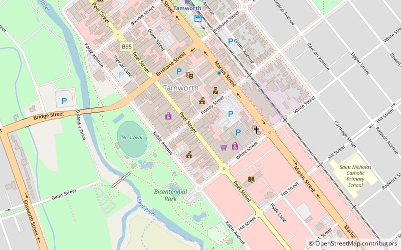
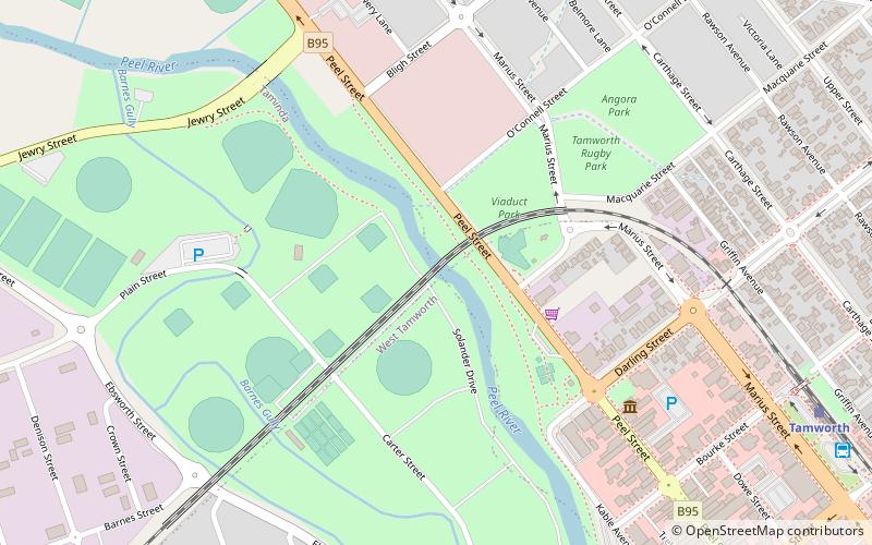
Map
Facts and practical information
Tamworth Regional Council is a local government area in the New England region of New South Wales, Australia. The area under administration is located adjacent to the New England Highway and the Main North railway line. It was established in March 2004 through the amalgamation of the former City of Tamworth with surrounding shires of Barraba, Manilla, Nundle and Parry. ()
Day trips
Tamworth Regional Gallery – popular in the area (distance from the attraction)
Nearby attractions include: Tamworth Post Office, Tamworth Powerstation Museum, Australian Country Music Hall of Fame, Peel River railway bridge.
Frequently Asked Questions (FAQ)
Which popular attractions are close to Tamworth Regional Gallery?
Nearby attractions include Tamworth Post Office, Tamworth (2 min walk), Tamworth Powerstation Museum, Tamworth (12 min walk), Australian Country Music Hall of Fame, Tamworth (15 min walk), Peel River railway bridge, Tamworth (19 min walk).
How to get to Tamworth Regional Gallery by public transport?
The nearest stations to Tamworth Regional Gallery:
Bus
Train
Bus
- Tamworth Bus Interchange (9 min walk)
Train
- Tamworth (10 min walk)
- West Tamworth (28 min walk)


