Crown Street, Wollongong

Gallery (1)
Map
Map
Facts and practical information
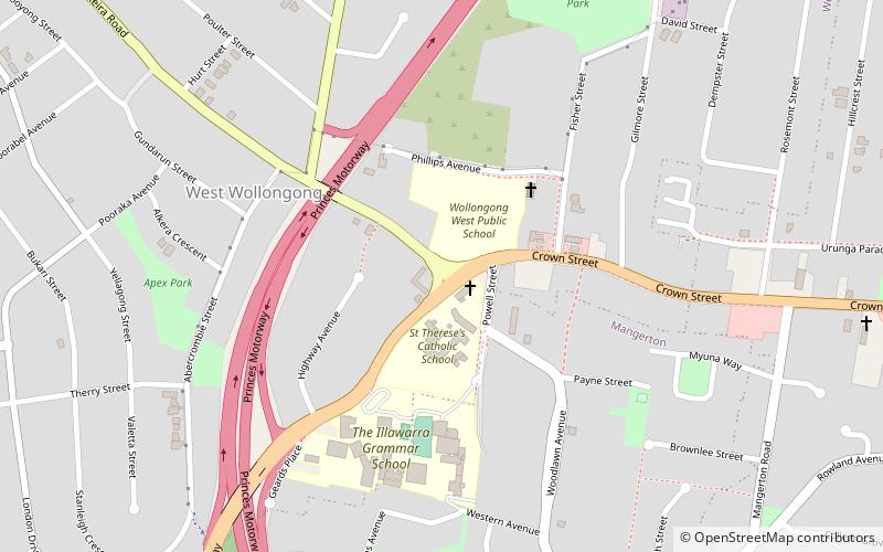
Crown Street is the main street in the city of Wollongong, New South Wales. It was created in the early 19th century from a cattle track which follows a ridge from Mount Keira to the first farm house in the area, and quickly became the "main" street of the then-town. ()
Coordinates: 34°25'32"S, 150°52'16"E
Address
Wollongong
ContactAdd
Social media
Add
Getting there by public transportation
Public transportation stops near this location
- Bus
- Train
 Bus
Bus
- Calculate routeWollongong 26 min walk
- Calculate routeConiston 30 min walk
- Calculate routeNorth Wollongong 38 min walk
- Calculate routeWollongong Station 26 min walk
Day trips


Frequently Asked Questions (FAQ)
How to get to Crown Street by public transport?
The nearest stations to Crown Street:
Train
Bus
Train
- Wollongong (26 min walk)
- Coniston (30 min walk)
Bus
- Wollongong Station (26 min walk)