Yurrebilla Trail, Adelaide
Map

Map

Facts and practical information
The Yurrebilla Trail is a walking trail passing through the Mount Lofty Ranges in the Adelaide hills area of Adelaide, South Australia, to the east of the Adelaide city centre. ()
Length: 33.55 miCoordinates: 34°51'36"S, 138°43'12"E
Address
AthelstoneAdelaide
ContactAdd
Social media
Add
Day trips
Yurrebilla Trail – popular in the area (distance from the attraction)
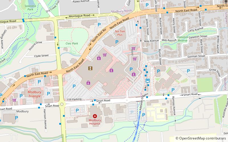
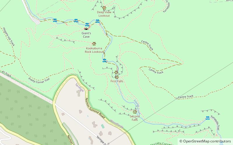
Nearby attractions include: Westfield Tea Tree Plaza, Modbury Triangle Shopping Centre, Morialta Conservation Park, First Falls.


