Fassifern Valley, Mutdapilly

Gallery (4)
Map

Map
Gallery
Facts and practical information
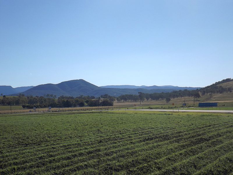
Fassifern Valley is a valley of the Scenic Rim in South East Queensland. Towns found in the valley include Harrisville, Kalbar, Roadvale, Warril View and Aratula. Fassifern Valley is known as a carrot-producing area, as well as for growing potatoes, onions, pumpkins and melons. It is one of four vegetable-producing regions in southern Queensland, the others being the Lockyer Valley, the eastern Darling Downs and the Granite Belt. ()
Coordinates: 27°48'39"S, 152°39'54"E
Address
Mutdapilly
ContactAdd
Social media
Add
Day trips
Fassifern Valley – popular in the area (distance from the attraction)
Nearby attractions include: Peak Crossing.
