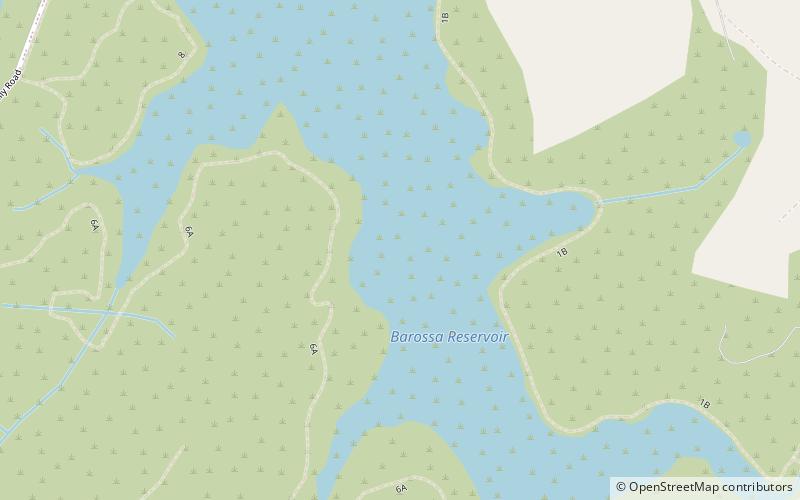
Barossa Reservoir

Gallery (3)
Map
Map
Gallery
Facts and practical information
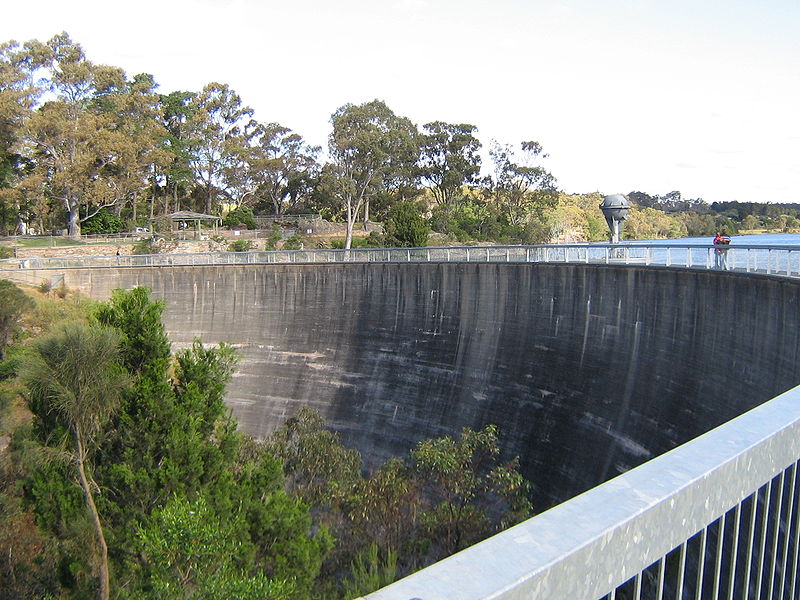
Barossa Reservoir is a reservoir in the Australian state of South Australia, built between 1899 and 1902 to supply water to Gawler and other northern country areas. Built at a cost of almost A£170,000 the reservoir was hailed on completion as an engineering marvel, and with the reservoir wall rising to a height of 36 metres, it was, at the time of its completion, the highest dam wall in Australia. ()
Opened: 1902 (124 years ago)Length: 472 ftHeight: 118 ftReservoir area: 153.21 acres (0.2394 mi²)Elevation: 732 ft a.s.l.Coordinates: 34°39'7"S, 138°50'56"E
Day trips