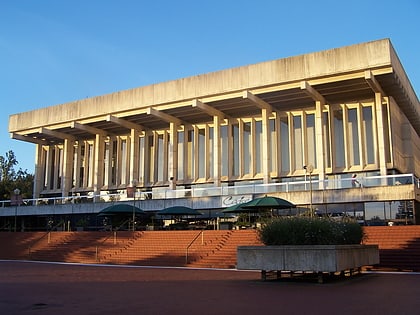
The Playhouse Theatre, Perth
Map
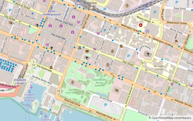
Map

Facts and practical information
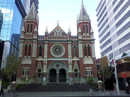
The Playhouse Theatre in central Perth, Western Australia was purpose-built for live theatre in the 1950s and remained one of the city's principal venues for performing arts for over half a century until replaced by the State Theatre Centre of Western Australia in January 2011. It was demolished in October 2012 as part of a redevelopment of Cathedral Square. ()
Completed: 1956 (70 years ago)Coordinates: 31°57'21"S, 115°51'43"E
Day trips
The Playhouse Theatre – popular in the area (distance from the attraction)
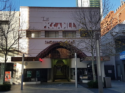
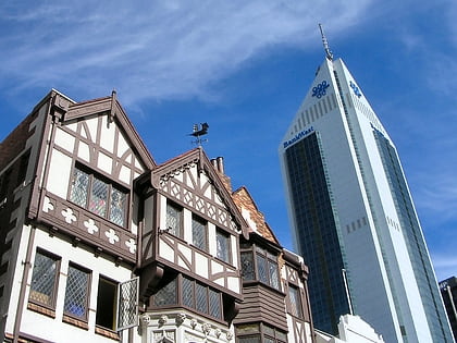
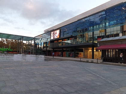
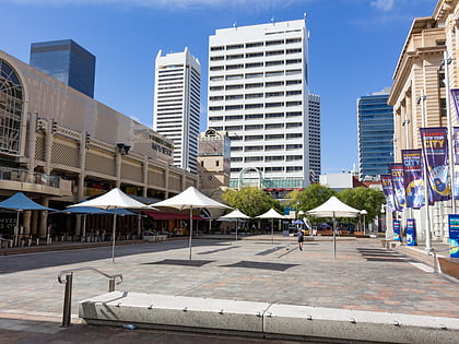
Nearby attractions include: Piccadilly Theatre and Arcade, London Court, Forrest Chase, Carillon City.
Frequently Asked Questions (FAQ)
Which popular attractions are close to The Playhouse Theatre?
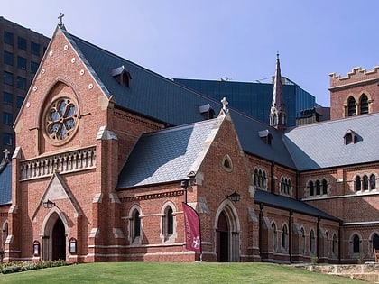
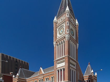
Nearby attractions include The Deanery, Perth (1 min walk), Swan River Mechanics' Institute, Perth (1 min walk), St George's Cathedral, Perth (2 min walk), Burt Memorial Hall, Perth (2 min walk).
How to get to The Playhouse Theatre by public transport?
The nearest stations to The Playhouse Theatre:
Bus
Train
Ferry
Bus
- Town Hall • Lines: 2 (3 min walk)
- Murray Street • Lines: 2 (4 min walk)
Train
- Perth (9 min walk)
- McIver (10 min walk)
Ferry
- Barrack Street Jetty • Lines: Express (10 min walk)
- Elizabeth Quay Ferry Terminal • Lines: Transperth Ferry - Elizabeth Qua, Transperth Ferry - Mends Street (10 min walk)

