Festival Hall, Melbourne
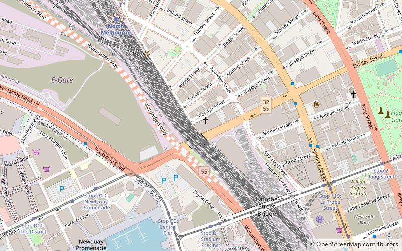
Map
Facts and practical information
Festival Hall is a heritage listed entertainment venue located at 300 Dudley Street, West Melbourne, Victoria. It is one of Melbourne's larger concert venues and has hosted a variety of local and international acts over many years. ()
Opened: 1915 (111 years ago)Coordinates: 37°48'40"S, 144°56'46"E
Address
300 Dudley StCity of Melbourne (West Melbourne)Melbourne 3003
Contact
+61 3 9329 9699
Social media
Add
Getting there by public transportation
Public transportation stops near this location
- Bus
- Tram
- Train
- Ferry
 Bus
Bus
- Calculate routeStop D2: Central Pier 6 min walk
- Calculate routeStop D1: Stadium Precinct 7 min walk
- Calculate routeStop D10: NewQuay Promenade 9 min walk
- Calculate routeStop 119: Spencer Street 9 min walk
- Calculate routeNorth Melbourne 9 min walk
- Calculate routeFlagstaff 14 min walk
- Calculate routeSouthern Cross 16 min walk
- Calculate routeMelbourne Central 24 min walk
- Calculate routeLa Trobe Street 9 min walk
- Calculate routeNorth Melbourne Station 10 min walk
- Calculate routeLonsdale Street/Spencer Street 11 min walk
- Calculate routeSouthern Cross Coach Terminal 12 min walk
- Calculate routePort Phillip Ferries 11 min walk
Maps Melbourne TramsMaps
 Victoria Trains
Melbourne TramsMapsVictoria TrainsDay trips


Frequently Asked Questions (FAQ)
Which popular attractions are close to Festival Hall?
Nearby attractions include Spencer Street, Melbourne (8 min walk), St James Old Cathedral, Melbourne (9 min walk), Etihad Stadium, Melbourne (10 min walk), Spencer Street Pharmacy, Melbourne (11 min walk).
How to get to Festival Hall by public transport?
The nearest stations to Festival Hall:
Tram
Train
Bus
Ferry
Tram
- Stop D2: Central Pier • Lines: 30, 35, 70, 70d, 75, 86, 86d (6 min walk)
- Stop D1: Stadium Precinct • Lines: 30, 35, 86, 86d (7 min walk)
Train
- North Melbourne (9 min walk)
- Flagstaff (14 min walk)
Bus
- La Trobe Street • Lines: 216 (9 min walk)
- North Melbourne Station • Lines: 401 (10 min walk)
Ferry
- Port Phillip Ferries (11 min walk)