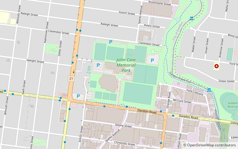
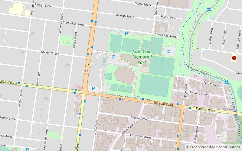
John Cain Memorial Reserve, Melbourne
Map
Facts and practical information
John Cain Memorial Reserve, is an Australian soccer ground in Thornbury, a suburb of Melbourne, Victoria. ()
Opened: 2004 (22 years ago)Capacity: 9000Coordinates: 37°45'50"S, 145°1'26"E
Address
Darebin (Thornbury)Melbourne
ContactAdd
Social media
Add
Getting there by public transportation
Public transportation stops near this location
- Bus
- Tram
- Train
 Bus
Bus
- Calculate routeJohn Cain Memorial Park/Station Street 5 min walk
- Calculate routeClarendon Street/Station Street 7 min walk
- Calculate routeDarebin Road/Station Street 7 min walk
- Calculate routeGrange Road/Darebin Road 7 min walk
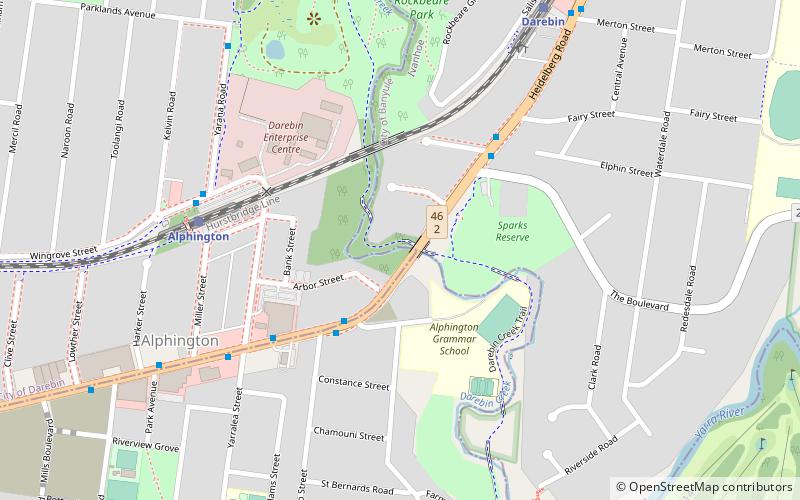
- Calculate routeAlphington 28 min walk
- Calculate routeDarebin 28 min walk
- Calculate routeFairfield 29 min walk
- Calculate routeIvanhoe 32 min walk
- Calculate routeStop 43: Raglan Street 39 min walk
- Calculate routeStop 44: Seymour Street 40 min walk
Maps Melbourne TramsMaps
 Victoria Trains
Melbourne TramsMapsVictoria TrainsDay trips


Frequently Asked Questions (FAQ)
How to get to John Cain Memorial Reserve by public transport?
The nearest stations to John Cain Memorial Reserve:
Bus
Train
Tram
Bus
- John Cain Memorial Park/Station Street • Lines: 567 (5 min walk)
- Clarendon Street/Station Street • Lines: 567 (7 min walk)
Train
- Alphington (28 min walk)
- Darebin (28 min walk)
Tram
- Stop 43: Raglan Street • Lines: 86, 86d (39 min walk)
- Stop 44: Seymour Street • Lines: 86 (40 min walk)