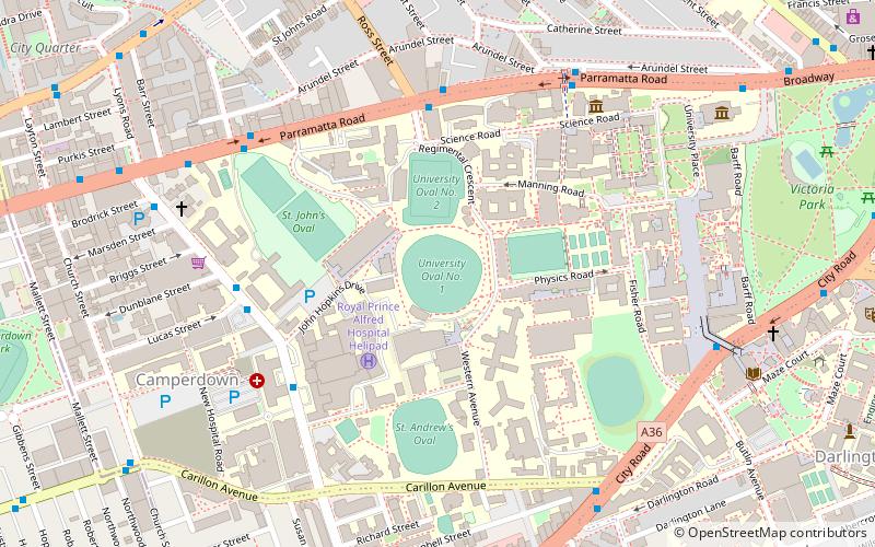
University Oval, Sydney
Map
Facts and practical information
University Oval is a cricket ground at the University of Sydney, in Sydney, Australia. The first recorded match on the ground was in 1898, when it was the venue for a game between the Australian Universities and A. E. Stoddart's XI. The ground has also hosted a Women's Test match between Australia and New Zealand. ()
Coordinates: 33°53'16"S, 151°11'6"E
Getting there by public transportation
Public transportation stops near this location
- Bus
- Light rail
- Train
- Ferry
 Bus
Bus
- Calculate routeRoss Street 6 min walk
- Calculate routeLarkin St 7 min walk
- Calculate routeSydney University Footbridge 7 min walk
- Calculate routeGlebe Point Rd at Mitchell St 13 min walk
- Calculate routeMacdonaldtown 16 min walk
- Calculate routeNewtown 20 min walk
- Calculate routeRedfern 21 min walk
- Calculate routeErskineville 22 min walk
- Calculate routeGlebe 20 min walk
- Calculate routeJubilee Park 24 min walk
- Calculate routeWentworth Park 28 min walk
- Calculate routeExhibition Centre 29 min walk
- Calculate routeBlackwattle Bay Wharf 30 min walk
Maps Sydney TrainsMaps
 Sydney Light RailMaps
 Sydney Ferries
Sydney TrainsMapsSydney Light RailMapsSydney FerriesDay trips
University Oval – popular in the area (distance from the attraction)
Nearby attractions include: Carriageworks, Broadway Shopping Centre, Rozelle Tram Depot, Camperdown Cemetery.


Frequently Asked Questions (FAQ)
Which popular attractions are close to University Oval?
Nearby attractions include Charles Perkins Centre, Sydney (3 min walk), St John's College, Sydney (5 min walk), University of Sydney, Sydney (5 min walk), Sydney University Lawn Tennis Club, Sydney (6 min walk).
How to get to University Oval by public transport?
The nearest stations to University Oval:
Bus
Train
Light rail
Ferry
Bus
- Ross Street • Lines: 438 (6 min walk)
- Larkin St • Lines: 438 (7 min walk)
Train
- Macdonaldtown (16 min walk)
- Newtown (20 min walk)
Light rail
- Glebe • Lines: L1 (20 min walk)
- Jubilee Park • Lines: L1 (24 min walk)
Ferry
- Blackwattle Bay Wharf (30 min walk)