Punt Road Oval, Melbourne
Map

Map

Facts and practical information
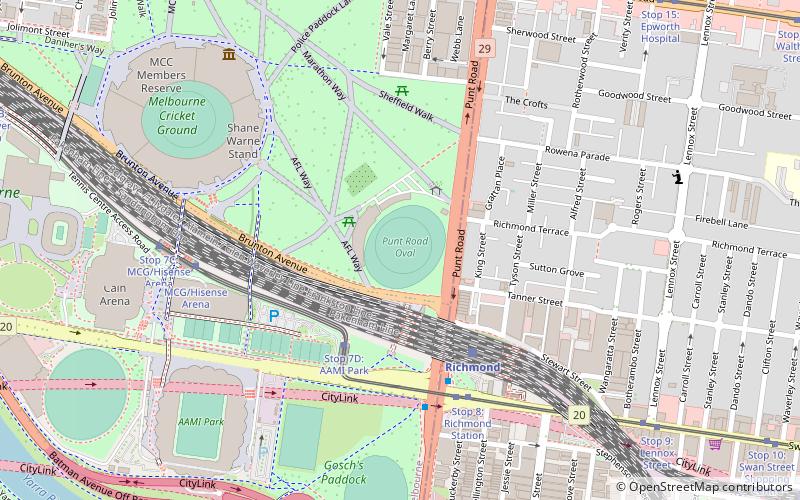
Punt Road Oval, also known by naming rights sponsorship as the Swinburne Centre, is an Australian rules football ground and former cricket oval located within the Yarra Park precinct of East Melbourne, Victoria, situated a few hundred metres to the east of the Melbourne Cricket Ground. ()
Opened: 1856 (170 years ago)Capacity: 5000Elevation: 43 ft a.s.l.Coordinates: 37°49'20"S, 144°59'17"E
Day trips
Punt Road Oval – popular in the area (distance from the attraction)
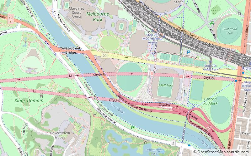
Nearby attractions include: Bridge Road, Melbourne Cricket Ground, AAMI Park, Rod Laver Arena.
Frequently Asked Questions (FAQ)
Which popular attractions are close to Punt Road Oval?
Nearby attractions include Niagara Galleries, Melbourne (5 min walk), Yarra Park, Melbourne (6 min walk), Burnley Tunnel, Melbourne (7 min walk), Richmond, Melbourne (8 min walk).
How to get to Punt Road Oval by public transport?
The nearest stations to Punt Road Oval:
Train
Tram
Bus
Train
- Richmond (4 min walk)
- Jolimont (12 min walk)
Tram
- Stop 7D: AAMI Park • Lines: 70, 70d (4 min walk)
- Stop 8: Richmond Station • Lines: 70, 70d (5 min walk)
Bus
- Richmond Station • Lines: 246 (5 min walk)
- Bridge Road • Lines: 246 (10 min walk)

 Melbourne Trams
 Victoria Trains


