Wanilla Conservation Park

Map
Facts and practical information
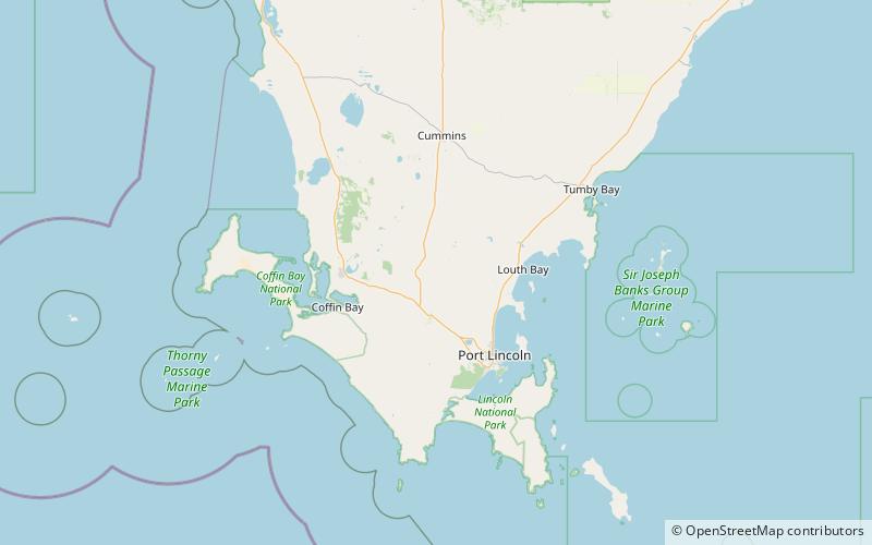
Wanilla Conservation Park is a protected area located in the Australian state of South Australia on the Eyre Peninsula in the gazetted locality of Wanilla about 4 kilometres east of the Wanilla town centre. ()
Established: 27 April 1978 (47 years ago)Area: 1.08 mi²Coordinates: 34°32'60"S, 135°42'36"E
Location
South Australia
ContactAdd
Social media
Add
Day trips
Wanilla Conservation Park – popular in the area (distance from the attraction)
Nearby attractions include: Wanilla Land Settlement Conservation Park, Tucknott Scrub Conservation Park.

