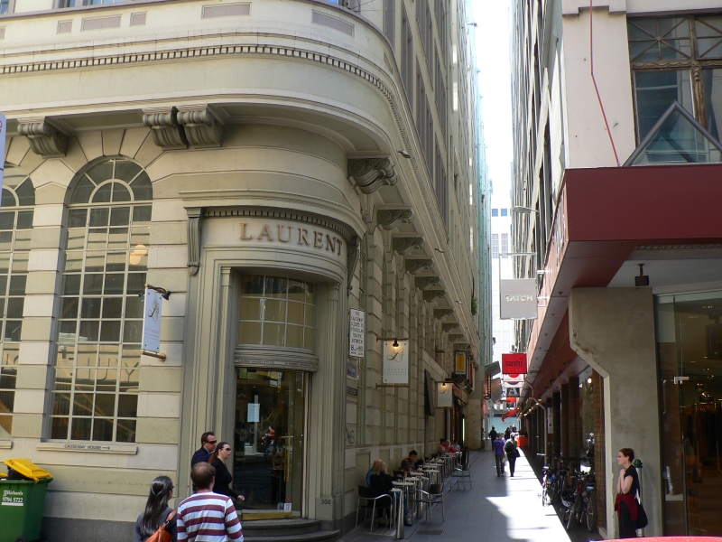
Causeway Lane, Melbourne

Facts and practical information
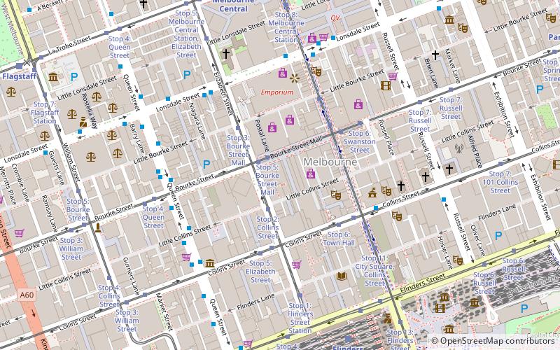
Causeway Lane is a place located in Melbourne (Victoria state) and belongs to the category of street.
It is situated at an altitude of 85 feet, and its geographical coordinates are 37°48'52"S latitude and 144°57'50"E longitude.
Planning a visit to this place, one can easily and conveniently get there by public transportation. Causeway Lane is a short distance from the following public transport stations: Stop 5: Bourke Street Mall (tram, 1 min walk), Elizabeth Street/Lonsdale Street (bus, 5 min walk), Flinders Street (train, 8 min walk), Port Phillip Ferries (ferry, 28 min walk).
Among other places and attractions worth visiting in the area are: Royal Arcade (shopping, 1 min walk), Little Collins Street (street, 2 min walk), Yule House (art deco architecture, 2 min walk).
City of Melbourne (Melbourne CBD)Melbourne
- Bus
- Tram
- Train
- Ferry
 Bus
Bus
- Calculate routeStop 5: Bourke Street Mall 1 min walk
- Calculate routeStop 2: Collins Street 2 min walk
- Calculate routeStop 3: Bourke Street Mall 3 min walk
- Calculate routeStop 5: Elizabeth Street 4 min walk
- Calculate routeElizabeth Street/Lonsdale Street 5 min walk
- Calculate routeLittle Collins Street/Queen Street 5 min walk
- Calculate routeBourke Street/Queen Street 5 min walk
- Calculate routeMelbourne Central/Lonsdale Street 6 min walk
- Calculate routeFlinders Street 8 min walk
- Calculate routeMelbourne Central 9 min walk
- Calculate routeFlagstaff 13 min walk
- Calculate routeParliament 14 min walk
- Calculate routePort Phillip Ferries 28 min walk
 Melbourne TramsMaps
 Victoria Trains


Frequently Asked Questions (FAQ)
Which popular attractions are close to Causeway Lane?
How to get to Causeway Lane by public transport?
Tram
- Stop 5: Bourke Street Mall • Lines: 86, 86a, 86d, 96, 96d (1 min walk)
- Stop 2: Collins Street • Lines: 19, 57, 59, 59d (2 min walk)
Bus
- Elizabeth Street/Lonsdale Street • Lines: 200, 207, 250, 251, 303, 350 (5 min walk)
- Little Collins Street/Queen Street • Lines: 200, 207, 235, 237, 250, 251, 350 (5 min walk)
Train
- Flinders Street (8 min walk)
- Melbourne Central (9 min walk)
Ferry
- Port Phillip Ferries (28 min walk)