Border Village

Gallery (1)
Map

Map
Facts and practical information
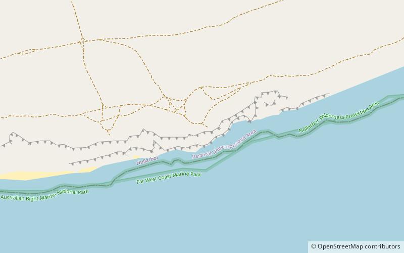
Border Village is a settlement located in South Australia within the locality of Nullarbor on the Eyre Highway at the border with Western Australia. ()
Coordinates: 31°38'28"S, 129°0'1"E
Location
Western Australia
ContactAdd
Social media
Add
Day trips