Bridgewater On Loddon
Map

Map

Facts and practical information
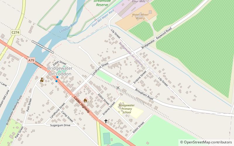
Bridgewater On Loddon is a town in north central Victoria, Australia. The town is located on the Calder Highway, north west of Bendigo, astride the Loddon River. At the 2016 census, Bridgewater On Loddon had a population of 326. The rural area which surrounds Bridgewater on Loddon is named simply "Bridgewater". The Loddon Shire covers an area of approximately 6,700 square kilometres making it the seventh largest municipality in Victoria. The Shire's population is approximately 8,600. The municipality is characterised by a number of small towns dispersed throughout the area. Loddon Shire Council ()
Population: ~330 pplCoordinates: 36°36'4"S, 143°56'44"E
Location
Victoria
ContactAdd
Social media
Add
