Burrumbeet
Map

Map

Facts and practical information
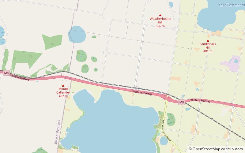
Burrumbeet is a town in western Victoria, Australia. The town is located on the Western Highway, 136 kilometres west of the state capital, Melbourne and 24 kilometres west of the regional centre, Ballarat. At the 2016 census, Burrumbeet and the surrounding area had a population of 232. ()
Population: ~230 pplCoordinates: 37°28'0"S, 143°38'60"E
Location
Victoria
ContactAdd
Social media
Add
Day trips
Burrumbeet – popular in the area (distance from the attraction)
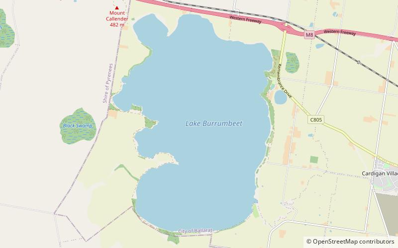
Nearby attractions include: Lake Burrumbeet.

