Capel
Map

Map

Facts and practical information
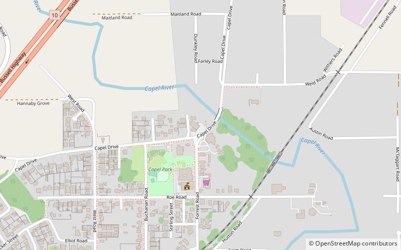
Capel is a town in the South West region of Western Australia, located 212 kilometres south of Perth and midway between Bunbury and Busselton. The town is located on the Capel River and is approximately 19 metres above sea level. ()
Location
Western Australia
ContactAdd
Social media
Add
Day trips
Capel – popular in the area (distance from the attraction)
Nearby attractions include: Tuart Forest National Park.

