Hawkesdale

Gallery (2)
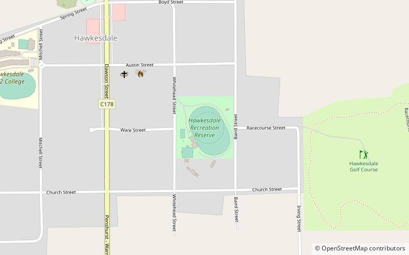
Map
Map
Gallery
Facts and practical information
Hawkesdale is a town in the Western District of Victoria, Australia on the Penshurst-Warrnambool Road. It is in the Shire of Moyne local government area and the federal Division of Wannon. At the 2016 census, Hawkesdale and the surrounding area had a population of 322. ()
Population: ~320 pplCoordinates: 38°6'33"S, 142°19'35"E
Location
Victoria
ContactAdd
Social media
Add