Johnsonville

Map
Facts and practical information
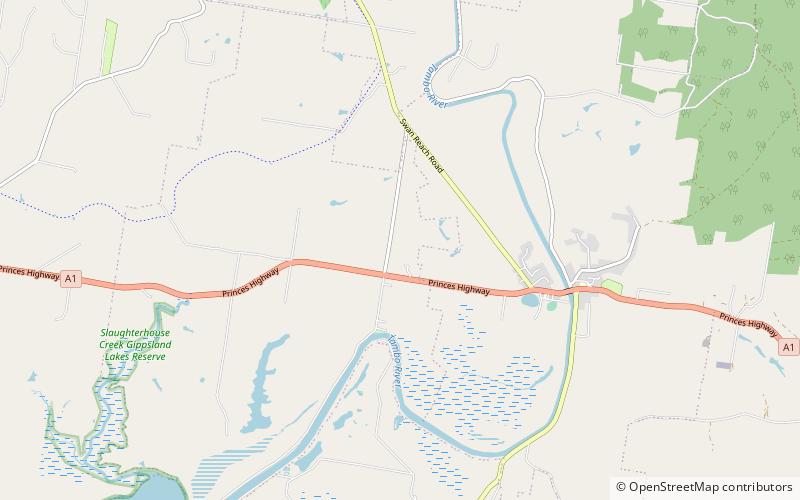
Johnsonville is a town in the East Gippsland region of Victoria, Australia. It is located on the Princes Highway 18.9 km east from the city of Bairnsdale and 18.3 km west from the tourist resort and fishing port of Lakes Entrance. The town encompasses an area of approximately 5,617 hectares, 56 square kilometres or 13,879 acres. ()
Population: ~330 pplCoordinates: 37°48'60"S, 147°49'60"E
Location
Victoria
ContactAdd
Social media
Add
Day trips
Johnsonville – popular in the area (distance from the attraction)
Nearby attractions include: Gippsland Lakes Discovery Trail, Metung.

