Laurieton
Map

Map

Facts and practical information
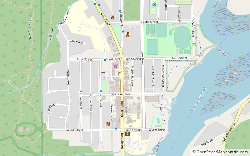
Laurieton is a coastal town on the Mid North Coast of the Australian state of New South Wales. Laurieton is the largest town in the Camden Haven district. Laurieton is 365 km north of Sydney and 42 km south of Port Macquarie. It lies between the base of North Brother Mountain and the Camden Haven River. At the 2016 census, it had a population of 1,986. ()
Population: 2 thous.Coordinates: 31°38'57"S, 152°47'49"E
Location
New South Wales
ContactAdd
Social media
Add
Day trips
Laurieton – popular in the area (distance from the attraction)
Nearby attractions include: Dooragan National Park, Kattang Nature Reserve.


