Mahogany Creek
#3228 among destinations in Australia
Facts and practical information
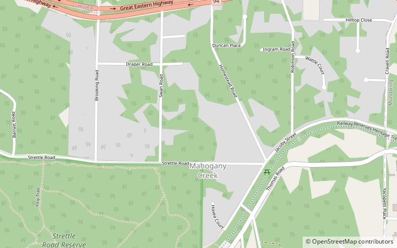
Mahogany Creek is a suburb of Perth, the state capital of Western Australia. It is part of the Shire of Mundaring local government area. ()
Western AustraliaAustralia
Mahogany Creek – popular in the area (distance from the attraction)
Nearby attractions include: Mundaring Weir, Mundaring Weir Hotel, Mundaring Arts Centre, Gooseberry Hill National Park.
4 miSEPark, DamMundaring Weir, Mundaring
103 min walk • Mundaring Weir is a dam located 39 kilometres from Perth, Western Australia in the Darling Scarp. The dam and reservoir form the boundary between the suburbs of Reservoir and Sawyers Valley. The dam impounds the Helena River.
3.8 miSENightlifeMundaring Weir Hotel, Mundaring
97 min walk • Mundaring Weir Hotel, is located in Mundaring, Western Australia. It is located adjacent to the formation of the former branch line to the weir - the Mundaring Weir Railway on a hill to the north, and above Mundaring Weir. It was previously known as the Reservoir Hotel, then the...
1.8 miE 5.8 miSWNational parkGooseberry Hill National Park, Perth
148 min walk • Gooseberry Hill National Park is a national park in Western Australia, in the locality of Gooseberry Hill, 21 km east of Perth. It is at the southern side of the mouth of the Helena Valley on the Darling Scarp. Statham's Quarry is located within the park boundary. The park was...
5.2 miWMemorialBlackboy Hill, Perth
134 min walk • Blackboy Hill was named after the Australian native "black boy" plants, Xanthorrhoea preissii, which dominated the site which is now absorbed into Greenmount, Western Australia.
6.6 miSEDamMundaring Weir
170 min walk • Mundaring Weir is a dam located 39 kilometres from Perth, Western Australia in the Darling Scarp. The dam and reservoir form the boundary between the suburbs of Reservoir and Sawyers Valley. The dam impounds the Helena River.
2.8 miNCemeteryParkerville Children's Home bush cemetery
72 min walk • The Parkerville Children's Home Bush Cemetery was part of the Parkerville Children's Home. The Home was founded in 1903 by Anglican nuns led by Sister Kate.
2.7 miECemeteryMundaring Cemetery
69 min walk • Mundaring Cemetery is located at the intersection of Yarri Grove and Railway Terrace, Mundaring, Western Australia. Mundaring Cemetery was gazetted as a burial ground in 1906.
4.4 miWNational parkGreenmount National Park, Perth
113 min walk • Greenmount National Park is a national park in the locality of Greenmount, Western Australia, 22 km east of Perth. It is one of the smaller national parks along the Darling Scarp and is a component of the Darling Range Regional Park.
4.1 miWTunnelSwan View Tunnel, John Forrest National Park
104 min walk • The Swan View Tunnel is a former railway tunnel located on the southern side of the Jane Brook valley in the outer Perth suburb of Swan View in the John Forrest National Park on the edge of the Darling Scarp.
2.6 miSNational parkBeelu National Park
67 min walk • Beelu National Park is a national park east of Perth, Western Australia. Lying south of Mundaring, Western Australia, and west of the Mundaring Weir Road, it is part of the group of parks known as the Parks of the Darling Range. The park was formerly named Mundaring National Park.