Point Addis Marine National Park

Gallery (1)
Map
Map
Facts and practical information
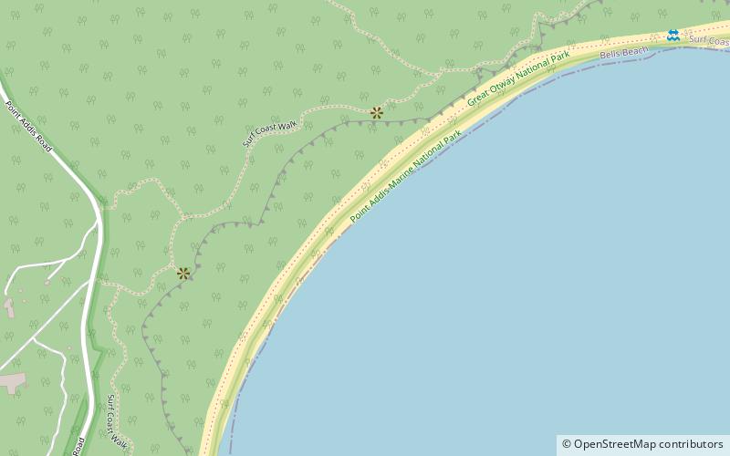
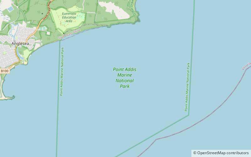
The Point Addis Marine National Park is a protected marine national park located near Anglesea on the Surf Coast region of Victoria, Australia. The 4,600-hectare marine park extends along 10 kilometres of coastline east of Anglesea, around Point Addis to the eastern end of Bells Beach and offshore 3 nautical miles to the limit of Victorian waters. ()
Area: 17.76 mi²Elevation: 0 ft a.s.l.Coordinates: 38°25'13"S, 144°14'48"E
Location
Victoria
ContactAdd
Social media
Add
Day trips