Trawool
Map

Map

Facts and practical information
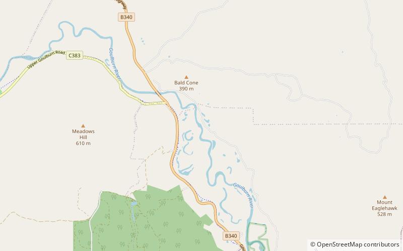
Trawool is a valley and town in central Victoria, Australia. The area lies on the middle reaches of the Goulburn River and on the Goulburn Valley Highway, 115 kilometres north of the state capital, Melbourne. ()
Population: ~110 pplCoordinates: 37°5'60"S, 145°12'60"E
Location
Victoria
ContactAdd
Social media
Add
Day trips
Trawool – popular in the area (distance from the attraction)
Nearby attractions include: Seymour Railway Heritage Centre.

