Bathurst Street, Sydney
Map
Map

Facts and practical information
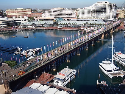
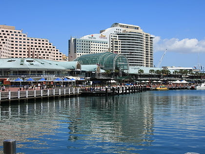
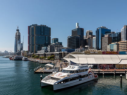
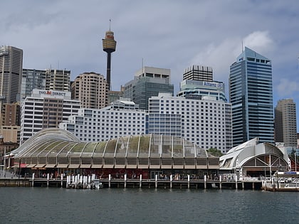
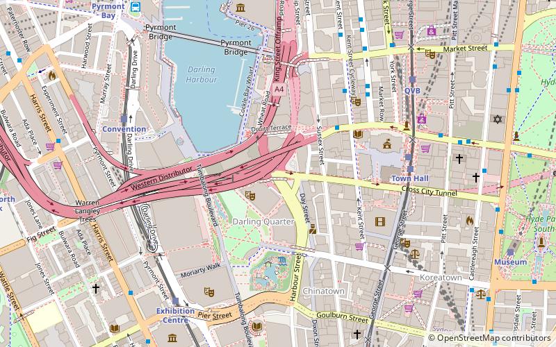
Bathurst Street is a street in the Sydney central business district in New South Wales, Australia. Bathurst Street runs for 650 metres in a west–east direction with traffic flowing in this direction only. It is situated in the southern portion of the central business district. The western terminus of Bathurst Street is at Harbour Street, Darling Harbour, with the eastern terminus at Elizabeth Street, adjacent to Hyde Park. ()
Coordinates: 33°52'26"S, 151°12'10"E
Address
Central Business District (Chinatown)Sydney
ContactAdd
Social media
Add
Day trips
Bathurst Street – popular in the area (distance from the attraction)
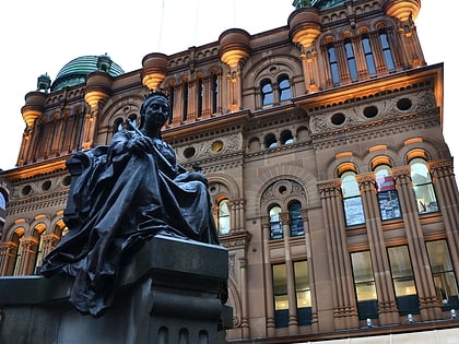
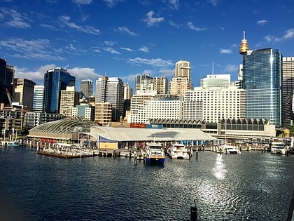
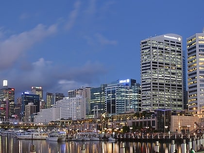
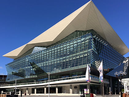
Nearby attractions include: Queen Victoria Building, SEA LIFE Sydney Aquarium, Darling Harbour, International Convention Centre Sydney.
Frequently Asked Questions (FAQ)
Which popular attractions are close to Bathurst Street?
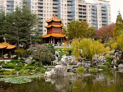
Nearby attractions include Tumbalong Park, Sydney (4 min walk), Chinese Garden of Friendship, Sydney (5 min walk), Darling Harbour Woodward Water Feature, Sydney (5 min walk), St Andrew's Cathedral, Sydney (5 min walk).
How to get to Bathurst Street by public transport?
The nearest stations to Bathurst Street:
Bus
Train
Light rail
Ferry
Bus
- Stand N, Town Hall, Druitt Street • Lines: M52 (4 min walk)
- Stand L, Town Hall, Druitt Street • Lines: M52 (5 min walk)
Train
- Town Hall (6 min walk)
- Museum (12 min walk)
Light rail
- Town Hall • Lines: L2, L3 (6 min walk)
- Qvb • Lines: L2, L3 (8 min walk)
Ferry
- Pyrmont Bay Wharf • Lines: F4, Ferry (12 min walk)
- Darling Harbour Wharf 1 (15 min walk)

 Sydney Trains
 Sydney Light Rail
 Sydney Ferries