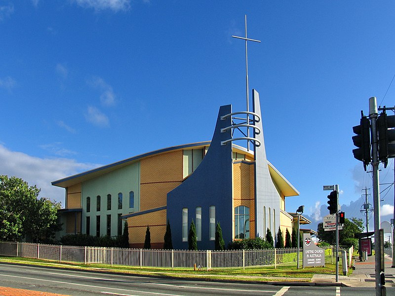
Chermside, Brisbane

Gallery (3)
Map
Map
Gallery
Facts and practical information
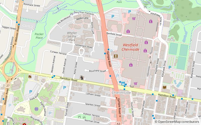
Chermside is a suburb in the City of Brisbane, Queensland, Australia. In the 2016 census Chermside had a population of 9,315 people. The suburb is situated 9.8 kilometres by road north of the Brisbane CBD. It is home to a large Westfield shopping centre. ()
Address
ChermsideBrisbane
ContactAdd
Social media
Add
Getting there by public transportation
Public transportation stops near this location
- Bus
- Train
 Bus
Bus
- Calculate routeGympie Road at The Gardens stop 38a 2 min walk
- Calculate routeGympie Road at The Gardens stop 38A 3 min walk
- Calculate routeGympie Road at Chermside, stop 38 3 min walk
- Calculate routeChermside Shopping Centre interchange B 4 min walk
- Calculate routeGeebung 39 min walk
Day trips


Frequently Asked Questions (FAQ)
How to get to Chermside by public transport?
The nearest stations to Chermside:
Bus
Train
Bus
- Gympie Road at The Gardens stop 38a • Lines: 330, 680, N339, P331 (2 min walk)
- Gympie Road at The Gardens stop 38A • Lines: 330, 680, P331 (3 min walk)
Train
- Geebung (39 min walk)