Clonmel Island, Corner Inlet

Map
Facts and practical information
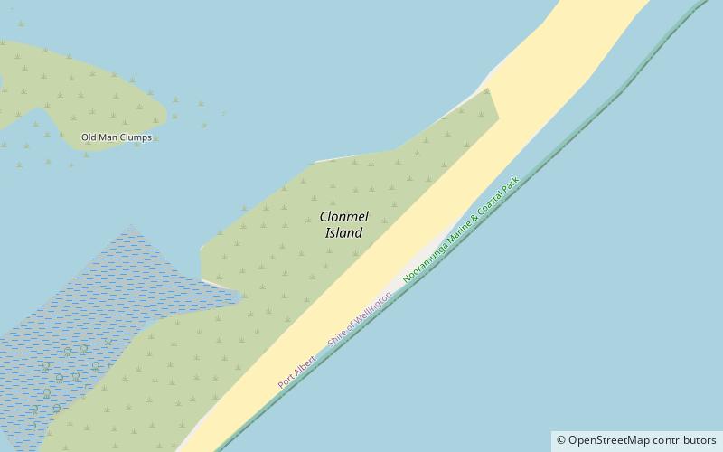
Clonmel Island is a sand island in Corner Inlet, in the Gippsland region of Victoria, Australia. Clonmel Island lies within the Nooramunga Marine and Coastal Park and is part of a complex of barrier islands that protect a large marine embayment from the pounding waves of Bass Strait. ()
Coordinates: 38°42'42"S, 146°42'17"E
Address
Corner Inlet
ContactAdd
Social media
Add
Day trips
Clonmel Island – popular in the area (distance from the attraction)
Nearby attractions include: Sunday Island, Port Albert.

