Corner Island, Wilsons Promontory National Park

Map
Facts and practical information
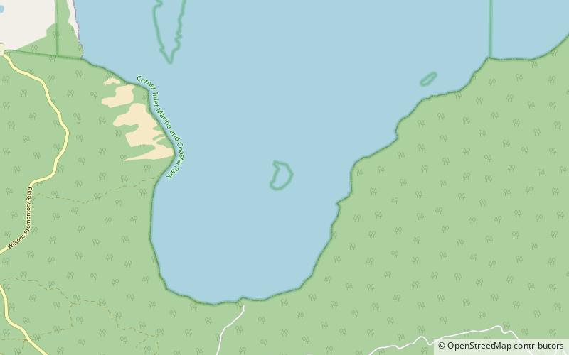
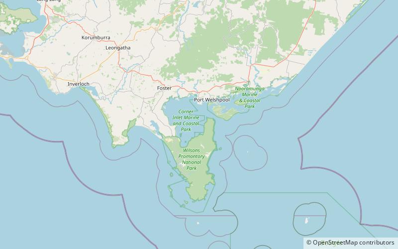
Corner Island is located in Corner Inlet Marine National Park, approximately 2.5 kilometres north of Millers Landing on Wilsons Promontory in Victoria, Australia. The island is accessible only at high tide by boat. ()
Coordinates: 38°52'57"S, 146°19'11"E
Address
Wilsons Promontory National Park
ContactAdd
Social media
Add
Day trips
Corner Island – popular in the area (distance from the attraction)
Nearby attractions include: Bennison Island, Granite Island.

