Cremorne Railway Bridge, Melbourne

Map
Facts and practical information
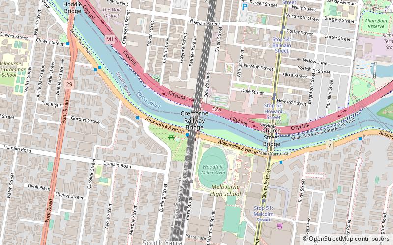
The Cremorne Railway Bridge crosses the Yarra River three kilometres south-east of Melbourne connecting Richmond and South Yarra stations on the Frankston, Pakenham, Cranbourne, and Sandringham railway lines. ()
Coordinates: 37°50'1"S, 144°59'36"E
Address
Stonnington (South Yarra)Melbourne
ContactAdd
Social media
Add
Day trips
Cremorne Railway Bridge – popular in the area (distance from the attraction)
Nearby attractions include: Pran Central, Royal Botanic Gardens, AAMI Park, Chapel Street.
Frequently Asked Questions (FAQ)
Which popular attractions are close to Cremorne Railway Bridge?
Nearby attractions include Beverley Hills Apartment Block, Melbourne (3 min walk), Church Street Bridge, Melbourne (6 min walk), Inglesby, Melbourne (6 min walk), Cremorne, Melbourne (7 min walk).
How to get to Cremorne Railway Bridge by public transport?
The nearest stations to Cremorne Railway Bridge:
Tram
Bus
Train
Tram
- Stop 53: Howard Street • Lines: 78 (5 min walk)
- Stop 51: Malcolm Street • Lines: 78 (7 min walk)
Bus
- Dobson St/Alexandra Ave • Lines: 605 (7 min walk)
- Alexandra Avenue/Punt Road • Lines: 246 (10 min walk)
Train
- South Yarra (9 min walk)
- East Richmond (14 min walk)
 Melbourne Trams
 Victoria Trains


