French Island Marine National Park, Tooradin
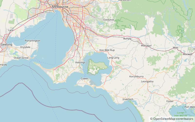
Map
Facts and practical information
The French Island Marine National Park is a protected marine national park in Western Port, Victoria, Australia. The 2,800-hectare marine park extends 15 kilometres along the north shore of French Island and protects a range of habitats including seagrass beds, mangroves and intertidal mud flats. ()
Coordinates: 38°17'45"S, 145°23'8"E
Address
Tooradin
ContactAdd
Social media
Add
Day trips

