Glebe, Sydney
Map
Gallery
Facts and practical information
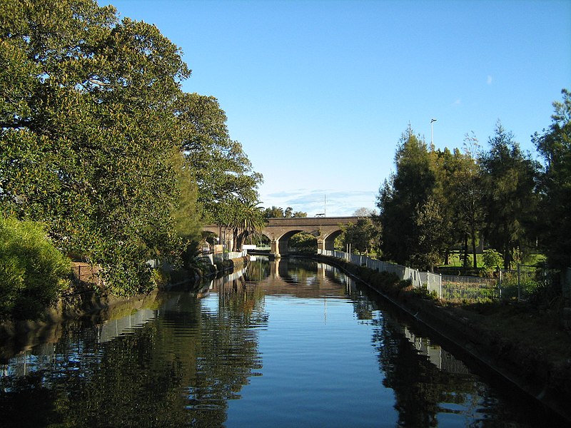
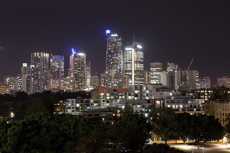
Glebe is an inner-western suburb of Sydney. Glebe is located 3 kilometres southwest of the Sydney central business district and is part of the local government area of the City of Sydney, in the Inner West region. ()
Address
Inner West (Glebe)Sydney
ContactAdd
Social media
Add
Day trips
Glebe – popular in the area (distance from the attraction)
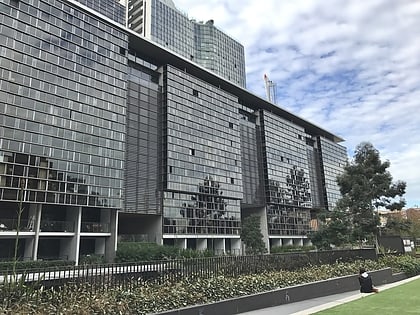
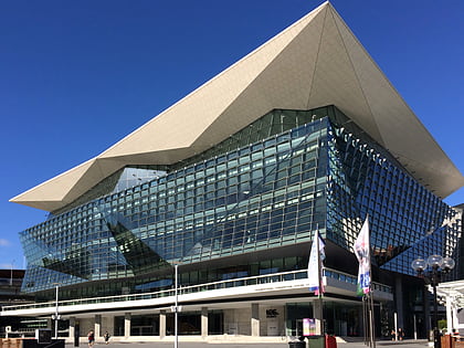
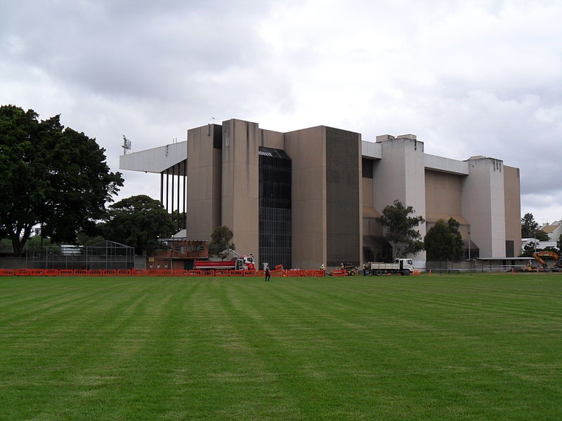
Nearby attractions include: Broadway Shopping Centre, Central Park, Rozelle Tram Depot, International Convention Centre Sydney.
Frequently Asked Questions (FAQ)
Which popular attractions are close to Glebe?
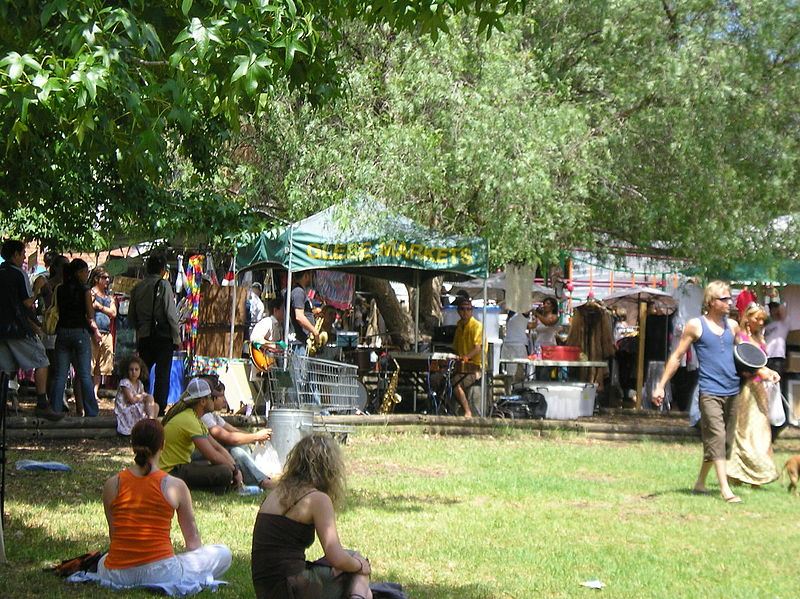
Nearby attractions include Macleay Museum, Sydney (11 min walk), Glebe Markets, Sydney (11 min walk), Great Hall of the University of Sydney, Sydney (12 min walk), Wentworth Park, Sydney (12 min walk).
How to get to Glebe by public transport?
The nearest stations to Glebe:
Bus
Light rail
Ferry
Train
Bus
- Glebe Point Rd at Hereford St • Lines: 431, 433 (3 min walk)
Light rail
- Glebe • Lines: L1 (6 min walk)
- Jubilee Park • Lines: L1 (13 min walk)
Ferry
- Blackwattle Bay Wharf (15 min walk)
- Pyrmont Bay Wharf • Lines: F4, Ferry (29 min walk)
Train
- Redfern (29 min walk)
- Central (31 min walk)



 Sydney Trains
 Sydney Light Rail
 Sydney Ferries
