Farm Cove, Sydney
Map
Gallery
Facts and practical information
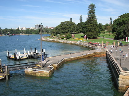
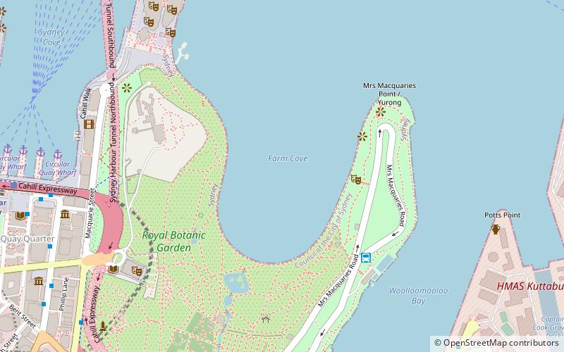
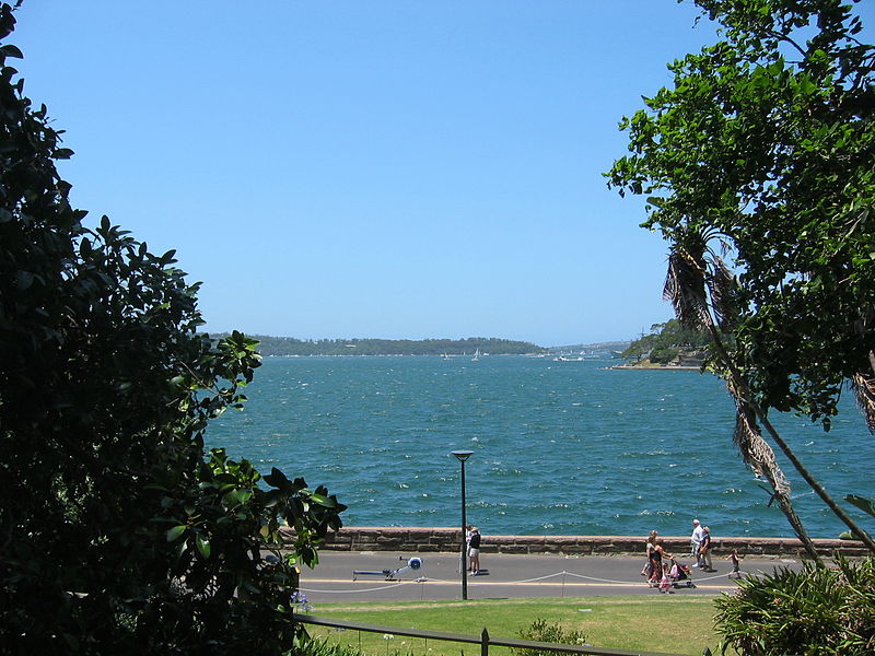
Farm Cove is a tidal inlet and shallow bay in Sydney Harbour, separated from Sydney Cove by Bennelong Point, New South Wales, Australia. Farm Cove is one of the places around Sydney Harbour that has been officially gazetted as a dual named site by the Geographical Names Board. The official dual name for this place is: 'Farm Cove / Wahganmuggalee'. ()
Coordinates: 33°51'40"S, 151°13'8"E
Address
Sydney
ContactAdd
Social media
Add
Day trips
Farm Cove – popular in the area (distance from the attraction)
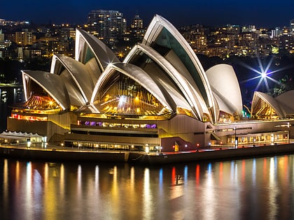
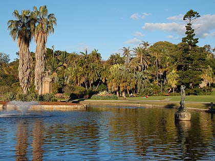
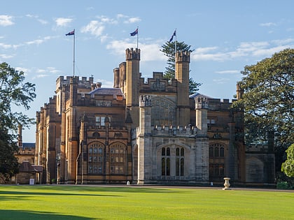
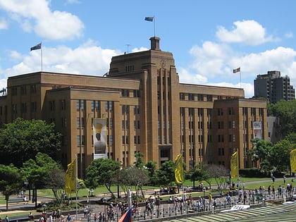
Nearby attractions include: Sydney Opera House, Royal Botanic Garden, Government House, Museum of Contemporary Art.
Frequently Asked Questions (FAQ)
Which popular attractions are close to Farm Cove?
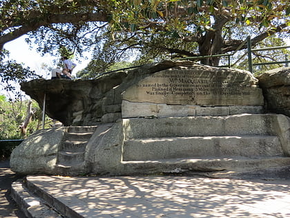
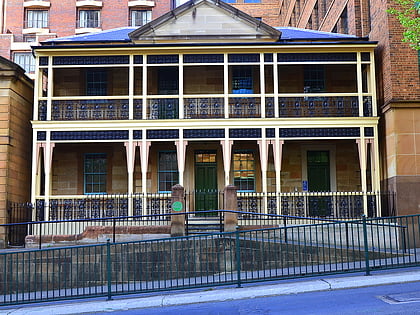
Nearby attractions include Government House, Sydney (7 min walk), Royal Botanic Garden, Sydney (7 min walk), Mrs Macquarie's Chair, Sydney (7 min walk), Man O'War Steps, Sydney (8 min walk).
How to get to Farm Cove by public transport?
The nearest stations to Farm Cove:
Bus
Ferry
Train
Light rail
Bus
- Andrew Boy Charlton Pool (6 min walk)
- Circular Quay • Lines: 302, 303 (11 min walk)
Ferry
- Circular Quay Wharf 2 • Lines: F2, F7 (11 min walk)
- Circular Quay Wharf 3 • Lines: F1 (11 min walk)
Train
- Circular Quay (12 min walk)
- Martin Place (17 min walk)
Light rail
- Circular Quay • Lines: L2, L3 (13 min walk)
- Bridge Street • Lines: L2, L3 (18 min walk)

 Sydney Trains
 Sydney Light Rail
 Sydney Ferries