Jolimont, Melbourne

Gallery (1)
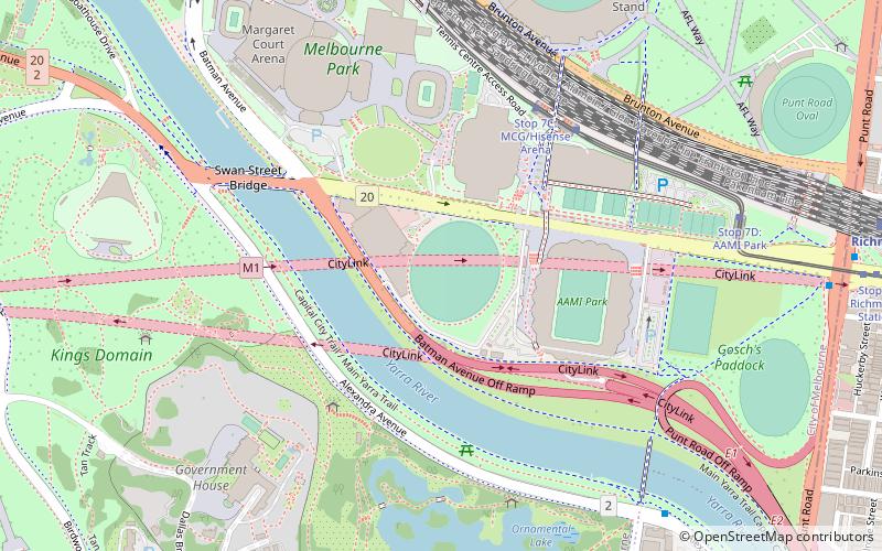
Map

Map
Facts and practical information
Jolimont is an unbounded neighbourhood of the suburb of East Melbourne, Victoria, Australia. Situated to the south east of the city's primary axis, Jolimont features parks, business precincts and a limited amount of residential accommodation. It was named after the Jolimont estate of Lieutenant-Governor Charles La Trobe, Victoria's first governor from 1839 to 1854. ()
Coordinates: 37°49'0"S, 144°59'5"E
Address
City of Melbourne (East Melbourne)Melbourne
ContactAdd
Social media
Add
Getting there by public transportation
Public transportation stops near this location
- Bus
- Tram
- Train
 Bus
Bus
- Calculate routeStop 11: Jolimont Station 1 min walk
- Calculate routeStop 13: Simpson Street 4 min walk
- Calculate routeStop 10: Jolimont Road 8 min walk
- Calculate routeStop 14: Punt Road 8 min walk
- Calculate routeJolimont 2 min walk
- Calculate routeWest Richmond 11 min walk
- Calculate routeRichmond 15 min walk
- Calculate routeNorth Richmond 16 min walk
- Calculate routeWellington Parade 8 min walk
- Calculate routeBridge Road 8 min walk
- Calculate routeClarendon Street/Victoria Parade 14 min walk
- Calculate routeSmith Street/Victoria Parade 15 min walk
Maps Melbourne TramsMaps
 Victoria Trains
Melbourne TramsMapsVictoria TrainsDay trips


Frequently Asked Questions (FAQ)
Which popular attractions are close to Jolimont?
Nearby attractions include Australian Sports Museum, Melbourne (4 min walk), Australian Racing Museum, Melbourne (4 min walk), The Johnston Collection, Melbourne (6 min walk), Yarra Park, Melbourne (6 min walk).
How to get to Jolimont by public transport?
The nearest stations to Jolimont:
Tram
Train
Bus
Tram
- Stop 11: Jolimont Station • Lines: 48, 48d, 75 (1 min walk)
- Stop 13: Simpson Street • Lines: 48, 48d, 75 (4 min walk)
Train
- Jolimont (2 min walk)
- West Richmond (11 min walk)
Bus
- Wellington Parade • Lines: 246 (8 min walk)
- Bridge Road • Lines: 246 (8 min walk)