Department of Mineral Resources Historic Photographs Collection, Maitland
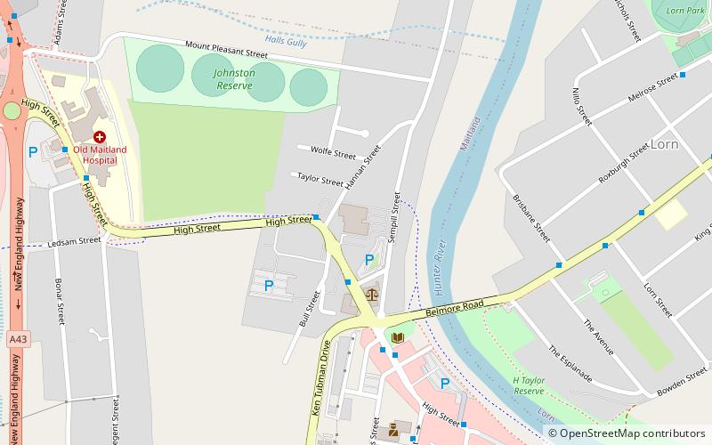
Map
Facts and practical information
The Department of Mineral Resources Historic Photographs Collection is a heritage-listed photographic collection at 516 High Street, Maitland, City of Maitland, New South Wales, Australia. It was established from 1860. It is also known as the Geological Survey collection of historic images. It was added to the New South Wales State Heritage Register on 2 April 1999. ()
Coordinates: 32°43'40"S, 151°33'7"E
Address
Maitland
ContactAdd
Social media
Add
Getting there by public transportation
Public transportation stops near this location
- Bus
- Train
 Bus
Bus
- Calculate routeMaitland Station, Station St 18 min walk
- Calculate routeMaitland 19 min walk
- Calculate routeTelarah 20 min walk
- Calculate routeEast Greta Junction 25 min walk
- Calculate routeHigh Street 30 min walk
Day trips
Department of Mineral Resources Historic Photographs Collection – popular in the area (distance from the attraction)
Nearby attractions include: Maitland Regional Art Gallery, Maitland Riverside Plaza, South Maitland Railway Workshops, Grossmann House.


Frequently Asked Questions (FAQ)
Which popular attractions are close to Department of Mineral Resources Historic Photographs Collection?
Nearby attractions include Maitland Synagogue, Maitland (12 min walk), St Mary's the Virgin Anglican Church, Maitland (13 min walk), Brough House, Maitland (13 min walk), Grossmann House, Maitland (14 min walk).
How to get to Department of Mineral Resources Historic Photographs Collection by public transport?
The nearest stations to Department of Mineral Resources Historic Photographs Collection:
Bus
Train
Bus
- Maitland Station, Station St • Lines: 180X (18 min walk)
Train
- Maitland (19 min walk)
- Telarah (20 min walk)