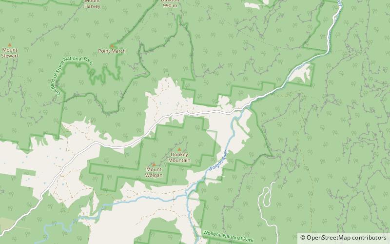
Wolgan Valley, Gardens of Stone National Park
Map

Map

Facts and practical information
Wolgan Valley is a small valley located along the Wolgan River in the Lithgow Region of New South Wales, Australia. The valley is located approximately 32 kilometres north of Lithgow and 150 kilometres north-west of Sydney. Accessible by the Wolgan Valley Discovery Trail from the Castlereagh Highway, the road travels through the valley leading onto the historical village of Newnes and its extensive industrial ruins. ()
Coordinates: 33°13'49"S, 150°11'44"E
Address
Gardens of Stone National Park
ContactAdd
Social media
Add
Day trips
Wolgan Valley – popular in the area (distance from the attraction)
Nearby attractions include: Glowworm Tunnel.

