Moama Historic Precinct, Echuca-Moama

Gallery (1)
Map
Map
Facts and practical information
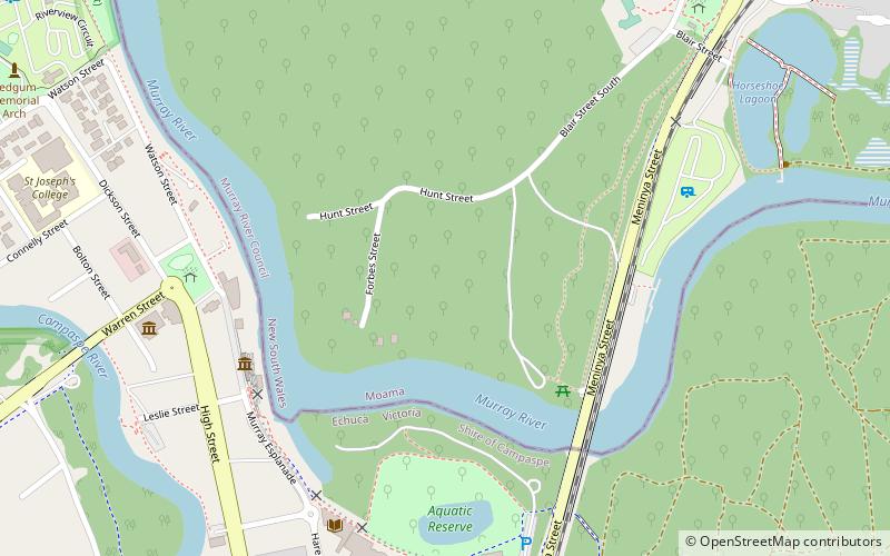
The Moama Historic Precinct is a heritage-listed abandoned settlement location, river wharf and public space on Hunt Street, Moama, New South Wales, Australia. It includes the Echuca - Moama Bridge and the Echuca Wharf on the Victorian side of the river. It was added to the New South Wales State Heritage Register on 2 April 1999. ()
Coordinates: 36°7'10"S, 144°45'3"E
Address
Echuca-Moama
ContactAdd
Social media
Add
Day trips
Moama Historic Precinct – popular in the area (distance from the attraction)
Nearby attractions include: Echuca Wharf, Moama.

