Taylor Range, Brisbane
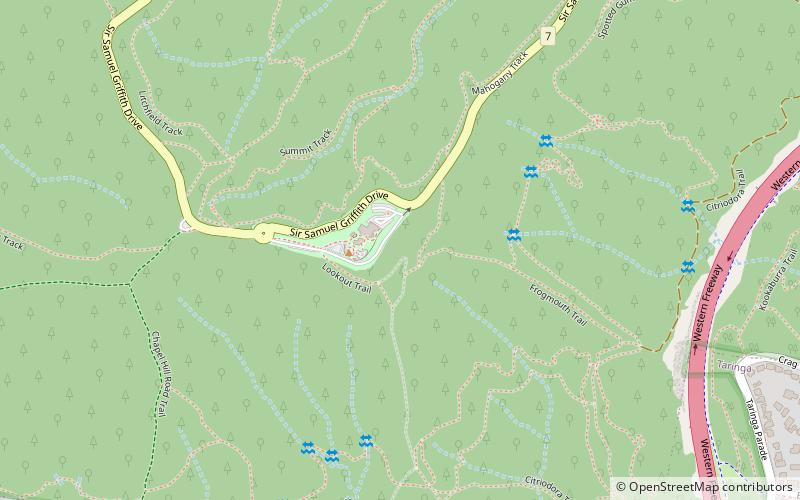
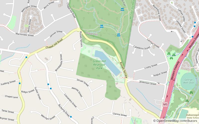
Map

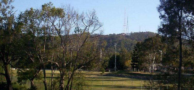
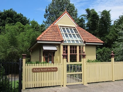
Gallery

Facts and practical information
The Taylor Range or Herbert Taylor Range is a mountain range on the western edge of Brisbane, Queensland, Australia. It was first named The Glenmorrison Range by John Oxley during his exploration of the area in January 1824. In 1828, the colonial botanist Charles Fraser, whilst looking at the range from the Ipswich area, noted the bearings as Sir Herbert Taylor’s Range from which the current name derived. ()
Coordinates: 27°29'6"S, 152°57'36"E
Address
Mount Coot-thaBrisbane
ContactAdd
Social media
Add
Day trips
Taylor Range – popular in the area (distance from the attraction)
Nearby attractions include: Mount Coot-tha Lookout, Indooroopilly Shopping Centre, Brisbane Botanic Gardens, J C Slaughter Falls.
Frequently Asked Questions (FAQ)
Which popular attractions are close to Taylor Range?
Nearby attractions include Mount Coot-tha, Brisbane (13 min walk), J C Slaughter Falls (17 min walk), Green Hill Reservoir, Brisbane (19 min walk).
How to get to Taylor Range by public transport?
The nearest stations to Taylor Range:
Bus
Bus
- Sir Samuel Griffith Drive at Mount Coot-Tha • Lines: 471 (2 min walk)
- Moggill Rd at Indooroopilly School, stop 16 • Lines: 444, 460 (29 min walk)


