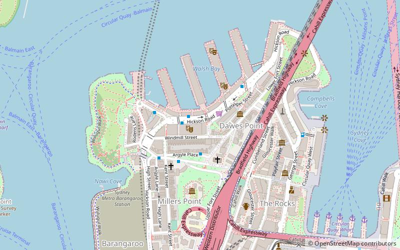
Millers Point Conservation Area, Sydney
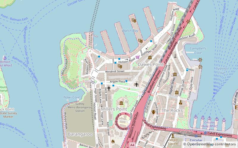
Map
Facts and practical information
Millers Point Conservation Area is a heritage-listed historic precinct at Millers Point, Sydney, City of Sydney, New South Wales, Australia. The property is owned by the New South Wales Land and Housing Corporation. It was added to the New South Wales State Heritage Register on 2 April 1999. ()
Coordinates: 33°51'28"S, 151°12'16"E
Address
Central Business District (Miller's Point)Sydney
ContactAdd
Social media
Add
Getting there by public transportation
Public transportation stops near this location
- Bus
- Light rail
- Train
- Ferry
 Bus
Bus
- Calculate routeCircular Quay Wharf 5 10 min walk
- Calculate routeCircular Quay Wharf 4 11 min walk
- Calculate routeCircular Quay Wharf 3 12 min walk
- Calculate routeCircular Quay Wharf 2 13 min walk
- Calculate routeCircular Quay 11 min walk
- Calculate routeBridge Street 12 min walk
- Calculate routeWynyard 17 min walk
- Calculate routeThe Star 22 min walk
- Calculate routeLang Park 11 min walk
- Calculate routeStand Q, Wynyard 13 min walk
- Calculate routeStand A, Circular Quay, Alfred Street 13 min walk
- Calculate routeCircular Quay 13 min walk
- Calculate routeCircular Quay 12 min walk
- Calculate routeWynyard 15 min walk
- Calculate routeMartin Place 20 min walk
- Calculate routeMilsons Point 24 min walk
Maps Sydney TrainsMaps
 Sydney Light RailMaps
 Sydney Ferries
Sydney TrainsMapsSydney Light RailMapsSydney FerriesDay trips
Millers Point Conservation Area – popular in the area (distance from the attraction)
Nearby attractions include: Glenmore Hotel, Lord Nelson Brewery Hotel, Hero of Waterloo Hotel, St Brigid's Roman Catholic Church.


Frequently Asked Questions (FAQ)
Which popular attractions are close to Millers Point Conservation Area?
Nearby attractions include 46-48 Argyle Place, Sydney (1 min walk), 36-38 Argyle Place, Sydney (1 min walk), 40-44 Argyle Place, Sydney (1 min walk), Undercliffe Cottage, Sydney (1 min walk).
How to get to Millers Point Conservation Area by public transport?
The nearest stations to Millers Point Conservation Area:
Ferry
Light rail
Bus
Train
Ferry
- Circular Quay Wharf 5 • Lines: F3, F4 (10 min walk)
- Circular Quay Wharf 4 • Lines: F5, F6 (11 min walk)
Light rail
- Circular Quay • Lines: L2, L3 (11 min walk)
- Bridge Street • Lines: L2, L3 (12 min walk)
Bus
- Lang Park • Lines: 290 (11 min walk)
- Stand Q, Wynyard • Lines: 607X, 610 (13 min walk)
Train
- Circular Quay (12 min walk)
- Wynyard (15 min walk)