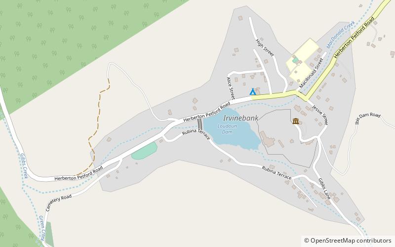
Irvinebank Dam, Irvinebank

Map
Facts and practical information
Irvinebank Dam is a heritage-listed timber and concrete weir initially constructed around 1885 when a tin battery was built. The two creeks which form the basis of the dam at Irvinebank were known as Gibbs Creek and McDonald Creek, after the earliest prospectors. The battery was erected on the Gibbs Creek frontage, and the dam was constructed just below the junction of these two creeks and embraced an area, when full, of about 12 - 13 acres of water, with depths varying from about 15 feet down to about two or three feet. The original capacity was 150 million litres. ()
Coordinates: 17°25'45"S, 145°12'0"E
Address
Irvinebank
ContactAdd
Social media
Add
Day trips
Irvinebank Dam – popular in the area (distance from the attraction)
Nearby attractions include: Loudoun House.
