Ngatjan, Wooroonooran National Park

Gallery (1)
Map
Map
Facts and practical information
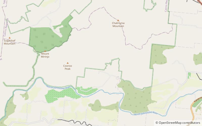
Ngatjan is a locality split between the Cassowary Coast Region and the Cairns Region, Queensland, Australia. In the 2016 census, Ngatjan had no population. The term is derived from the ethnonym of the local Ngatjan people. ()
Coordinates: 17°30'46"S, 145°54'7"E
Address
Wooroonooran National Park
ContactAdd
Social media
Add
Day trips
Ngatjan – popular in the area (distance from the attraction)
Nearby attractions include: Josephine Falls.
